
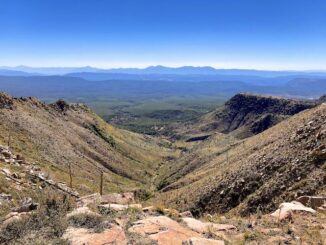
General Crook Trail: V43-V51
Heading east from Dewey, this is the 7th segment of General Crook Trail. I originally plotted the seventh segment of the General Crook Trail to run […]
Heading east from Dewey, this is the 7th segment of General Crook Trail. I originally plotted the seventh segment of the General Crook Trail to run […]

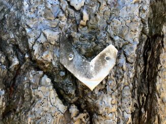
I don’t see a lot of graffiti when I’m hiking out “in the woods”. And, honestly, rarely even when I am hiking Phoenix-area desert parks. […]
My plan this week was to bike Railroad Grade Trail #601 from Apache Railroad Trailhead on AZ-260, south 19 miles to Railroad Cove Trailhead at […]

I vaguely remember two auto accidents from my youth: The first accident was on I-43 just north of the Milwaukee airport. A car had eaten […]
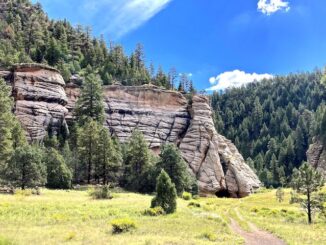
TL;DR I didn’t take many pictures. For a full description, read my 2020 Sandys Canyon / Walnut Canyon blog. I’ve been through Sandys Canyon, into […]
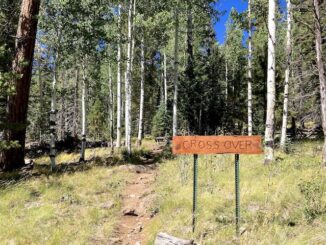
Heading east from Dewey, this is the 5th segment of General Crook Trail. I hiked the previous General Crook Trail segment, from Upper Sawlog Tank #1 […]
I planned to hike the Chesapeake and Ohio Canal towpath from McMahon’s Mill to Williamsport during Easter, 2022, but had to bail due to the […]

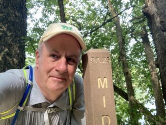
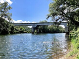
Another trip out to Hagerstown to visit family and hike the Chesapeake and Ohio Canal. (One more segment to go!) This month’s lead segment would […]
I was originally going to hike the Chesapeake and Ohio Canal from Oldtown to Spring Gap, but that is barely 6½ miles, and would have […]

I’ve moved back to Arizona in 2004, and took up bike riding not long thereafter. I soon began referring to the Arizona Canal as the […]
Copyright © 2026 Preston V. McMurry III | WordPress Theme by MH Themes