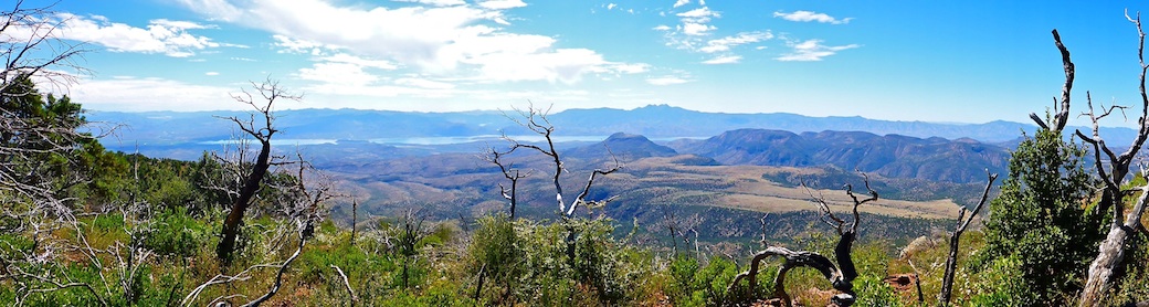
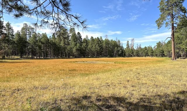
Alder Canyon is a 19-mile long canyon on the Mogollon Rim. Its head is at intermittent Alder Lake, north of Woods Canyon Lake, on FR 169, just off Rim Rd. Alder Canyon empties into West Chevelon Canyon. Dye Ridge is on Alder Canyon’s west flank; Chevelon Ridge, at least initially, on its right. Alder Canyon has several named branches, and today I planned to loop back via West Fork Alder Canyon.
Someone was fifth wheel camping in my intended parking spot on the west side of Dye Ridge Rd. No big deal: There’s tons of campsites along Dye Ridge Rd. So, I parked on the other side. Semper Gumby. First order of business was to walk 250 yds. south to Alder Lake. It was larger than expected, but bone dry. Even the dark depression in the middle was dry. Oh well.
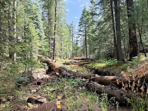
From Alder Lake, I recrossed FR 169 at the culvert, which serves as the head of Alder Canyon. First color I found was a safety-green golf ball. “That’s odd”, I thought. Not a hundred yards later, there was a white golf ball. “This is getting ridiculous!” Though I did see occasional garbage after that — e.g.beer cans due to the nearby camps — thankfully the remaining color was provided by flowers.
Alder Canyon was my first outing with my new Kodak PixPro WPZ2 pocket camera. I needed an alternate to my month-old iPhone 17 Pro, whose camera I’ve struggled with. Particularly focus on the intended subject / center of frame, and on depth of field. Despite constant fiddling with its settings, the Kodak PixPro WPZ2 was somehow worse. I sure miss my Panasonic Lumix DMC TS-5.
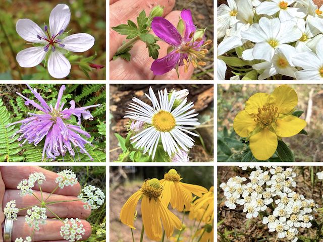
Top Row: Richardson’s geranium, pineywoods geranium, Nuttall’s linanthus.
Middle Row: wild bergamot, spreading fleabane, woolly cinquefoil.
Bottom Row: Parish’s yampah, yellow coneflower, western yarrow.
Measuring from FR 169, the first two miles of Alder Canyon were relatively slow going due to a combination of struggling with focus, and being slightly tangled canyon bottom. That Richardson’s geranium is one of only two decent photos the Kodak PixPro WPZ2 took. I found the first pool of water 1¼ miles down Alder Canyon. A quarter mile later, I was able to step across a barbed-wire fence.
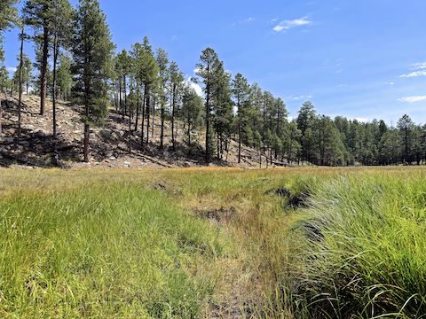
Alder Canyon cleared up as I approached Cliff Springs. Per the topo map, there are supposedly two spring outlets in Cliff Springs’ prairie. I’m not sure I found either one, unless Cliff Springs #1 was a seep, and Cliff Springs #2 was a pool? The prairie was covered with long green grass. Dye Ridge Rd. is only 400 ft. to the left, and 60 ft. up. Trucks were audible. A Cliff Springs loop would be 4.0 miles, 200 ft. AEG.
I zipped through the third mile of Alder Canyon in only 35 minutes — and that despite spending eight minutes struggling with my iPhone 17 Pro’s focus while trying to video multiple species of butterflies dancing around a patch of wild bergamot. Even a relatively mild canyon, your miles per hour drops dramatically. I budget for two miles per hour, rounded up, then add a half hour. ETA: at least 2 p.m.
Even without a hike description, you can deduct how difficult a hike might be by the jaggedness of a GPS track (see below) of a previous hiker. In this case, me. The fourth mile of Alder Canyon was the slowest mile of my day, primarily due to photographing an increased variety of flowers. I don’t recall much mid-channel deadfall below Cliff Springs, but I was working the creek-side shelves to avoid rocks and pools.
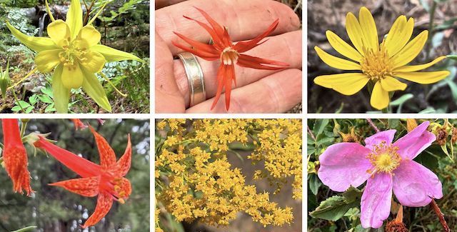
Top Row: yellow columbine, Mexican silene, hairy golden aster.
Bottom Row: skyrocket, velvety goldenrod, Wood’s rose.
Overall, I found 20 species of flowers in Alder Canyon. The most common were yellow coneflower, Nuttall’s linanthus, wild bergamot, and woolly cinquefoil. High country flowers I spotted, but did not photograph, included wandbloom penstemon, red and yellow pea, mullein, alpine false springparsley, and tons of long-stalked clover.
I heard thunder, as I started the fifth mile of Alder Canyon at 11:45. I knew there was a 15% chance of rain ten miles east in Forest Lakes, starting at 1 p.m., so I picked up my pace. Fifteen minutes later it started drizzling. Just part of the hiking game, particularly on the Mogollon Rim. I had a quick snack, then soldiered on. I finished the fifth mile in only 34 minutes. Then it started raining.
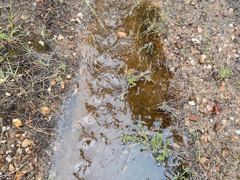
I was hoping to make it a half mile to one of the jeep trails in West Alder Canyon, but something told to me to bail. So, I did. Halfway up I donned my garbage bag “raincoat”. At the top, I bumped across an abandoned jeep trail. No sooner had I turned left on the jeep trail than a 20-minute deluge began. Where the jeep trail didn’t have 2″ deep puddles, it had an actual stream flowing down it!
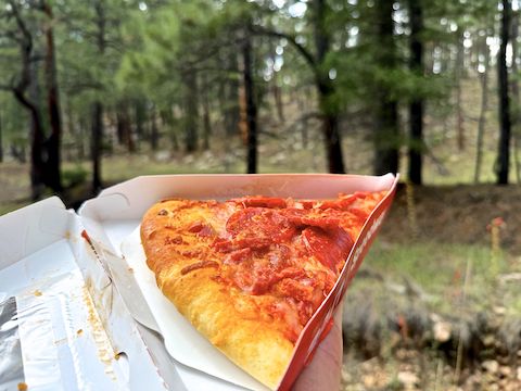
The downpour stopped by the time I reached FR 717O (“O” as in Oscar). Unsure where left went, I turned right. Ten minutes later, I reached Dye Ridge Rd. (My planned route back from West Alder Canyon). After removing my “rain jacket”, and finishing my pizza, I booked it the three remaining miles back to my wife in just over an hour. As soon as I can fit it in my schedule, I’ll head back to finish it up.
Alder Canyon was my 75th Mogollon Rim hike, above or below the Rim, and 41st different Rim canyon. One of these days I need to put up a page indexing all my Rim hikes, for the edification of You, my vast worldwide audience. Below are two GPS files: The first for today’s hike; the second for the full, uninterrupted, Alder Canyon – West Fork Alder Canyon Loop.
Directions: From Phoenix, head north on AZ-87, the Beeline Highway, into Payson. Turn right on AZ-260. In 29 miles, after cresting the Mogollon Rim, take the first left onto Rim Rd. / FR 300. In 8.4 miles, make a sharp right onto FR 169. Take the next left onto Dye Ridge Rd. / FR 717. In 150 yds., park at the camp on the right.
Today’s GPS File: Alder_Canyon_Part1_20260715
Full Route GPS File: Alder_Canyon_and_West_Fork_Mogollon_Rim
Distance: 10.67 mi.
AEG: 501 ft.
Time: 4h 27m
Rumble Video
Vimeo Video
Hiking Alder Canyon, Mogollon Rim from Preston McMurry on Vimeo.
