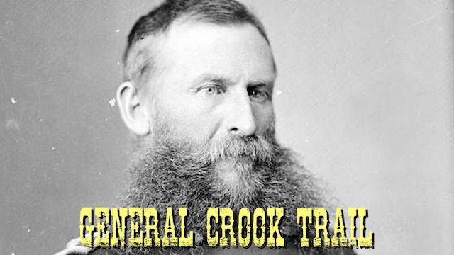
In 1871, General George Crook surveyed a supply road west from Fort Apache, Arizona, across the Mogollon Rim to Camp Verde, then on to Fort Whipple in Prescott. The General Crook Road was built in 1872. The Army used the road until 1896, and civilians until 1928, when Rim Road replaced it.
P markers represent miles west of Camp Verde. V markers represent miles east of Camp Verde.
| Start | End | Blog | Date | GPS | Video |
|---|---|---|---|---|---|
| P21 | P12 | Old Cherry Road to CF Canyon | 2022-09-07 | .gpx | Vimeo |
| P12 | P2 | CF Canyon to Copper Canyon | 2022-10-06 | .gpx | Vimeo |
| V0 | V6 | Camp Verde to Clear Creek Campground | |||
| V6 | V16 | Clear Creek Campground to Sawlog Tank #2 | 2024-04-24 | .gpx | Vimeo |
| V16 | V27 | Upper Sawlog Tank #1 to FR 9361K | 2023-05-11 | .gpx | Vimeo |
| V27 | V33 | FR 9361K to Baker Lake | 2023-09-06 | .gpx | Vimeo |
| V33 | V39 | Baker Lake to Kehl Spring Campground | 2023-06-28 | .gpx | Vimeo |
| V39 | V43 | Kehl Spring Campground to General Springs Cabin | 2023-07-26 | .gpx | Vimeo |
| V43 | V51 | General Springs Cabin to FR 137 | 2023-10-11 | .gpx | Vimeo |
| V51 | V57 | FR 137 to FR 115 | 2024-05-08 | .gpx | Vimeo |
| V57 | V62 | FR 115 to Promontory Lookout | 2024-06-12 | .gpx | Vimeo |
| V62 | V71 | Promontory Lookout to Rim Top Trailhead | 2024-07-09 | .gpx | Vimeo |
| V71 | V80 | Rim Top Trailhead to Forest Lakes | 2024-07-24 | .gpx | Vimeo |
| V80 | V89 | Forest Lakes to FR 487 | 2023-04-26 | .gpx | Vimeo |
| V89 | V99 | FR 487 to Phoenix Park | 2024-08-28 | .gpx | Vimeo |
| V99 | V107 | Phoenix Park to ZB Draw | 2024-10-16 | .gpx | Vimeo |
| V107 | V114 | ZB Draw to Cottonwood Wash | 2025-06-04 | .gpx | Vimeo |
