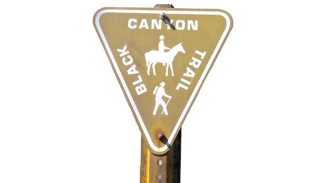
The Black Canyon Trail is a National Recreation Trail that starts at Carefree Highway, in far north Phoenix. Originally 64 miles to the Big Bug Trailhead in Spring Valley, it was first extended 12 miles north to Russian Well, in the middle of nowhere, then later another 17 miles to AZ-169. Currently, the BCT is 96 miles. Rumor is the BCT may one day run as far as the Verde Valley, or even Williams!
The Black Canyon Trail is for horses, hikers, trail runners and is especially popular with mountain bikers.
| Segment | Blog | Date | Miles | GPS | Video |
|---|---|---|---|---|---|
| 1 | Carefree Hwy. to New River Rd. | 2020-01-02 | 6.37 | .gpx | Vimeo |
| 2 | New River Rd. to Boy Scout Loop | 2020-02-10 | 10.34 | .gpx | Vimeo |
| 3 | Boy Scout Loop to Table Mesa Rd. | 2020-04-09 | 8.13 | .gpx | Vimeo |
| 4 & 5 | Table Mesa Rd. to Black Canyon City | 2016-02-28 | 13.23 | .gpx | Vimeo |
| 6 & 7 | Crown King Rd. to Black Canyon City | 2016-04-15 | 10.97 | .gpx | Vimeo |
| 8 | Crown King Rd. to Bumble Bee | 2017-03-10 | 4.36 | .gpx | Vimeo |
| 9 | Bumble Bee to Government Spring | 2018-03-26 | 6.47 | .gpx | Vimeo |
| 10 | Government Spring to Cordes | 2020-12-11 | 5.00 | .gpx | Vimeo |
| 11 | Cordes to Big Bug Creek | 2021-04-22 | 7.71 | .gpx | Vimeo |
| 12 | Big Bug Creek to Brushy Wash | 2022-03-23 | 9.78 | .gpx | Vimeo |
| 13 | Brushy Wash to Orme Rd. | 2022-04-29 | 10.41 | .gpx | Vimeo |
| 14 | Orme Rd. to Old Cherry Rd. | 2023-11-08 | 8.29 | .gpx | Vimeo |
