

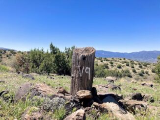
General Crook Trail: V51-V57
Heading east from Dewey, this is the first part of the 8th segment of General Crook Trail. In 1872, General George Crook surveyed a road from Fort […]
Heading east from Dewey, this is the first part of the 8th segment of General Crook Trail. In 1872, General George Crook surveyed a road from Fort […]
Heading east from Dewey, this is the 3rd segment of General Crook Trail. From the Copper Canyon Trailhead (P2) on FR 136, I skipped eight miles […]
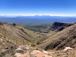
Heading east from Dewey, this is the 7th segment of General Crook Trail. I originally plotted the seventh segment of the General Crook Trail to run […]
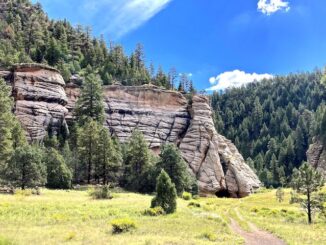
TL;DR I didn’t take many pictures. For a full description, read my 2020 Sandys Canyon / Walnut Canyon blog. I’ve been through Sandys Canyon, into […]
Heading east from Dewey, this is the 5th segment of General Crook Trail. I hiked the previous General Crook Trail segment, from Upper Sawlog Tank #1 […]
Heading east from Dewey, this is the second part of the 6th segment of General Crook Trail. The overall sixth segment of the General Crook Trail, […]
My planned second “away bike” of the summer was for an area I’d both biked before (Campbell Mesa) and hiked before (Fisher Point). On the […]
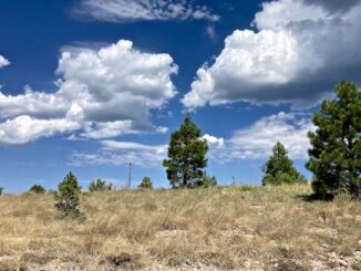
Heading east from Dewey, this is the first part of the 6th segment of General Crook Trail. Even though it is late June, the managed Wilbur Fire is […]
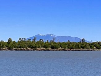
My first “away bike” of the summer was in an area I’d only skirted before: Anderson Mesa. (In 2017, I hiked from Marshall Lake to […]
Heading east from Dewey, this is the 4th segment of General Crook Trail. I haven’t being doing enough elevation gain on my hikes to tackle the […]
Copyright © 2026 Preston V. McMurry III | WordPress Theme by MH Themes