
Kingsnake’s Dashcam #99: California
Back in Kingsnake’s Dashcam #96, I mentioned that though Phoenix’s bum density was not yet at Los Angeles levels, it was getting there. My most […]
Back in Kingsnake’s Dashcam #96, I mentioned that though Phoenix’s bum density was not yet at Los Angeles levels, it was getting there. My most […]
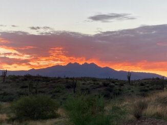
East Leonard Canyon is a 6-mile long canyon, located on the Mogollon Rim. Knoll Ridge forms its west flank; an unnamed ridge topped by Limestone […]
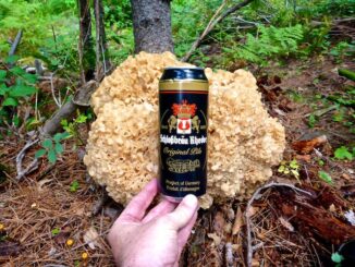
Quaking Aspen Canyon is located on the Mogollon Rim, just six miles east of AZ-260. Kehl Ridge is on its right flank, while Cienega Draw […]
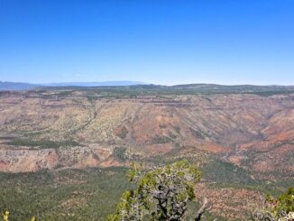
Nash Point, is located on the Mogollon Rim, above the hamlet of Strawberry, just west of AZ-87. South, Nash Point is flanked by Strawberry Valley, […]
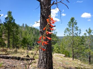
I have not done an away hike or bike either of the last two weeks. For … reasons. Worse yet, my already borderline eating habits […]
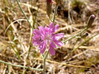
Since I began mountain biking again six months ago, my goal has been to do one “away” ride per month. Today, I visited the Campbell […]
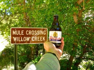
Bear Canyon is located atop the Mogollon Rim, just a ½ mile directly north of Christopher Creek and See Canyon Trail #184. Bear Beaver Ridge […]
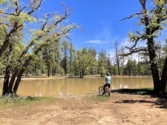
My first “away” mountain bike ride, for which I prepared by riding what I call the Mega Church Loop, around mostly flat Moon Valley and […]
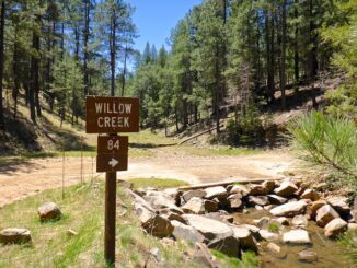
The head of Willow Creek is between Promontory Lookout and Carr Lake, on the Mogollon Rim. Willow Creek heads north past the Rancho Allegro site, […]
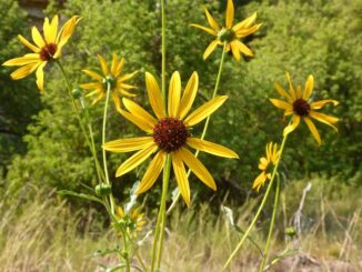
My third Arizona flowers video adds another three dozen or so species I’ve photographed on my travels across the elevated forests, canyons and mountains of […]
Copyright © 2026 Preston V. McMurry III | WordPress Theme by MH Themes