

Kingsnake’s Dashcam #112
I vaguely remember two auto accidents from my youth: The first accident was on I-43 just north of the Milwaukee airport. A car had eaten […]
I vaguely remember two auto accidents from my youth: The first accident was on I-43 just north of the Milwaukee airport. A car had eaten […]

Another trip out to Hagerstown to visit family and hike the Chesapeake and Ohio Canal. (One more segment to go!) This month’s lead segment would […]
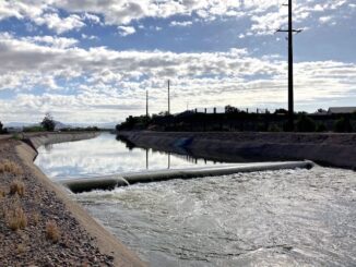
I’ve moved back to Arizona in 2004, and took up bike riding not long thereafter. I soon began referring to the Arizona Canal as the […]

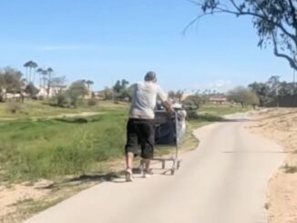
Besides the California refugees that started showing up in Phoenix a couple of years ago, Arizona is starting to get folks moving in from other […]
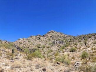
My planned second “away bike” of the summer was for an area I’d both biked before (Campbell Mesa) and hiked before (Fisher Point). On the […]
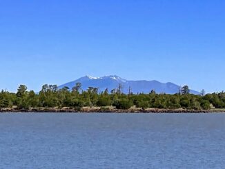
My first “away bike” of the summer was in an area I’d only skirted before: Anderson Mesa. (In 2017, I hiked from Marshall Lake to […]
Counter-clockwise from Bronco Trailhead, this is the 18th segment of the Maricopa Trail. Last month, I was in Maryland, day hiking the 184 mile Chesapeake […]
Prior to today’s hike on the C&O Canal towpath, I had completed 15 of 20 segments. Bonds Landing to Paw Paw is the 16th segment. […]

In Maryland last week, so expect plenty of Crab-by drivers — Haha! Get it? — in the next Kingsnake’s Dashcam! Phoenix Traffic Stress Disorder (PTSD) […]
Copyright © 2026 Preston V. McMurry III | WordPress Theme by MH Themes