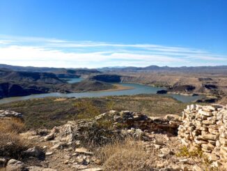
Indian Mesa Ruins
Indian Mesa Ruins is another one of those hikes I’ve had on my to-do list for years. Not sure why I’ve never gotten around to […]

Indian Mesa Ruins is another one of those hikes I’ve had on my to-do list for years. Not sure why I’ve never gotten around to […]
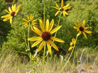
My third Arizona flowers video adds another three dozen or so species I’ve photographed on my travels across the elevated forests, canyons and mountains of […]
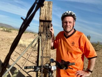
I have not ridden my mountain bike since my ride along the Arizona Canal — aka the “Homeless Highway” — March 2, 2014, nearly eight […]
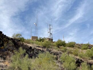
Today, November 17, is National Take a Hike Day — something I only realized sometime in the past year. My two previous hikes on this […]
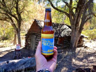
Earlier this year, I switched my regular hiking day from Thursday to Wednesday, as the latter seems to have less traffic. (Probably due to fewer […]

Kingsnake’s Dashcam has visited at least 17 states over the past six years: New Mexico, Texas, Oklahoma, Missouri, Illinois, Indiana, Ohio, West Virginia, Virginia, Tennessee, […]
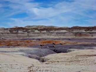
The Petrified Forest is a 221,391 acre national park in Navajo County and Apache County, in northeast Arizona. It is known for its fossils, the stunning […]
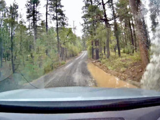
The Mogollon Rim is a 200-mile long escarpment, extending from Yavapai County to New Mexico. Up to 2,000 ft. above terrain, the Rim separates the […]
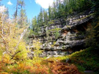
Last week’s expedition to Greens Peak did not yield the rainbow of fall color I had hoped for. The best fall color I’ve found in […]

Hiking, in temperatures lower than the surface of the sun, is why so much of an ostensibly “Phoenix” dashcam channel take place in Coconino County, […]
Copyright © 2024 Preston V. McMurry III | WordPress Theme by MH Themes