

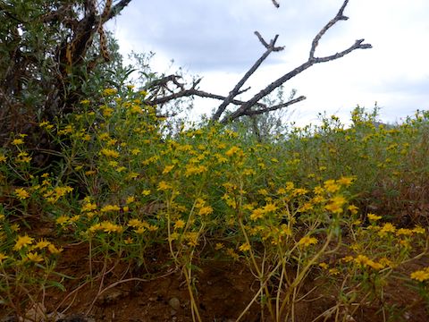
Counter-clockwise from Bronco Trailhead, this is the 9th segment of the Maricopa Trail.
Thunderstorms predicted until at least mid-day. Decided to make the trip out west anyway. Didn’t look too bad at north end of White Tank Mountain Regional Park. Black at the south end. Torn whether to bail, start from the library on Olive Ave., or follow my plan: Bike 5½ miles up to the library, turn on my GoPro, then head back, continuing on to the Culvers on Verrado Way @ I-10.
Stuck to plan.
Light rain for about 10 minutes mid-way to library. But I was sucking wind. Slippery rocks did not help. Bit off more than I could chew, considering I hadn’t really biked in well over a month.
Got to library, decided to bail.
GPS File: Maricopa_Trail_White_Tanks_to_Verrado
Distance: 5.46 mi.
AEG: 274 ft.
Time: 1h 04m