
, at the Goodyear Airport boneyard.")
Counter-clockwise from Bronco Trailhead, this is the 10th segment of the Maricopa Trail.
At the beginning of 2021, I set out to day hike the Maricopa Trail. Before today, I had completed 88 of 245 miles. Some of it biking, because long stretches of canal and suburban sidewalk go by much quicker on two wheels. I am doing the loop counter-clockwise. 🔄
Though not official, I’ve divided the Maricopa Trail into 25 segments, such that each is anchored on some sort of trailhead, which is important if you want to avoid being ticketed, or you want your shuttle driver to be able to pick you up at the end of your excursion.
So, while the official Maricopa Trail proceeds south from the Verrado bike path, into the desert along the east side of the EPCOR water plant, there is no trailhead at the I-10 underpass where the White Tanks to Verrado segment ends. Instead, this and the previous segment are anchored in the restaurant parking lots at Verrado Way and McDowell Rd.
Though most of my Maricopa Trail segments are 8-12 miles, today’s is 15 miles, to Estrella Mountain Regional Park. If you don’t have a shuttle driver, or if you do and want a shorter bike (or even hike), there are some options halfway: the Canyon Trails Towne Center, on the northeast corner of Yuma Rd & Cotton Ln., or Roman’s Oasis, a roadhouse just across Yuma Rd.
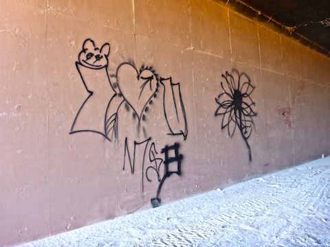
I started my ride heading east, across Verrado Way, on McDowell Rd. After 100 yds., McDowell Rd. turns from pavement to dirt. There are signs to the effect of “do not proceed”, but I figure that applies to motor vehicles, so I continued on the dirt roadbed. In ⅓ mile, I turned onto the official Maricopa Trail at Bulldozer Wash. A large tunnel and triple culvert are ahead. Go through the large tunnel under I-10. 🚚
After passing under Interstate 10, the Maricopa Trail continues south, the Sequoia Pathfinder Academy on the right, open desert on your left. That open desert is the Jackrabbit Wash detention basin, a necessity to move monsoon rain where it won’t flood homes & businesses. As you approach the dyke, turn left through a v-gate onto a gravel road. (I initially missed the v-gate.)
The Maricopa Trail winds east, passing through another v-gate, until the gravel road reaches paved Jackrabbit Trail (aka 195th Ave.) after 2½ miles. Turn south through a third v-gate, onto the wide dirt shoulder along the west side of Jackrabbit Trail. Stay on Jackrabbit Trail past Van Buren St., over the Roosevelt Canal, to Yuma Rd.
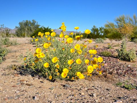
After 4 miles, turn left (east) onto the south side of Yuma Rd., which you follow nearly six miles. Where there are vegetable farms, or cotton fields, I found it easier to ride on the dirt irrigation road, rather than the gravel shoulder closer to the road. I figured as long as I was on the road side of the irrigation, I was not trespassing. 😇
At the 5-mile mark, on the southeast corner of Yuma Rd. & Perryville Rd., a new development is going in — the eventual fate of all nearby farmland. At Citrus Ave. (6 miles), the Maricopa Trail officially switches from the south side of Yuma Rd. to the north. No idea why. It was dirt on both sides. I stayed on the south side of Yuma Rd. At 174th Ln., the Maricopa Trail turns from dirt to cement bike path.
At Cotton Ln., the south shoulder of Yuma Rd. turns back to dirt for ⅓ mile. I had to walk my bike past Roman’s Oasis, as the shoulder there is non-existent. (As of May, 2022, Roman’s Oasis is supposed to be relocating 400 ft. west to accommodate widening of Yuma Rd.) After Roman’s Oasis, the south side of Yuma Rd. returns to cement bike path.
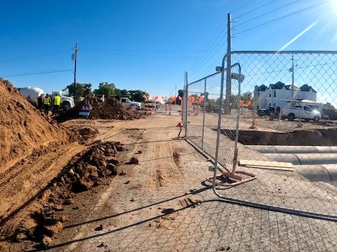
At 8¼ miles, a junction box on the southwest corner of Yuma Rd. & Sarival Rd. is painted in honor of nearby Goodyear Fire Station #184. After 8¾ miles, I was back on dirt for the final mile of Yuma Rd. (The north side shoulder was blocked by yet more housing construction.) Distracted by all the massive warehouses being constructed along Bullard Ave., I initially missed my turn. 🤦🏻♂️
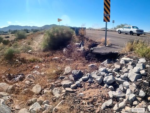
At 9⅔ miles, back on track, on official Maricopa Trail, I turned right (south) onto dirt along the west side of a wash. Field runoff has caused quite a bit of erosion. Easy for walking, but bumpy bike riding. After a half mile, at Lower Buckeye Pkwy. & Bullard Ave., the Maricopa Trail turns back to cement bike path. There are baseball fields to the right, and the Goodyear Airport boneyard to the left.
Bullard Ave. bends southwest to very busy Estrella Pkwy., which the Maricopa Trail also crossed at the 9-mile mark. Cross to the west side of the road, then turn left (south), staying on the sidewalk. There’s a big, grey, quarry on the other side of the road. At 11¾ miles, cross the railroad tracks and Buckeye Rd., then switch back to dirt on the east side of Estrella Pkwy., against traffic. The shoulder is plenty wide.
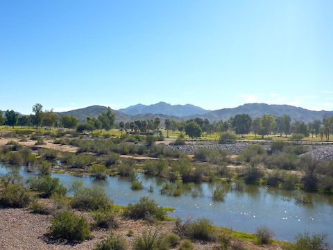
At 12½ miles, the Maricopa Trail crosses Buckeye Canal then, a quarter mile later, the Gila River. Two months after the monsoon, the main channel was flowing, so hike / bike the east side of the bridge rather than fording the river. Just on the south side of the bridge, turn left. My recommendation is to get on the Vineyard Rd. bike lane and save yourself a mile. 😉
The Maricopa Trail instead heads down into dry parts of the Gila River bottom, heading east, closely paralleling Vineyard Rd. If you were on the road, you could turn right into Estrella Mountain Regional Park in ½ mile. Instead, follow the Gila River bottom for a mile, under the Bullard Ave. bridge, to the Beaver Trailhead. Now on the Vineyard Rd. bike lane, double back west ½ mile to the park entrance.
Verrado Culvers Directions: From Phoenix, head west on I-10. Take exit 120 onto north Verrado Way. Quickly get into the left lane of Verrado Way. The Culvers is on the left, with a Shell Gas Station, Taco Bell, etc. Either turn left directly into the Culvers lot, or at the next light, then double back through the shopping area.
Estrella Mountain Regional Park Directions: From I-10, take exit 126, south onto Estrella Parkway. In 5 miles, just over the Gila River, turn left onto Vineyard Ave. In a half mile, turn right into the park, onto Casey Abbot Dr. The entrance fee is $7. (It helps keep our parks nice! 🙂) Take the second quick right after the gate into the Nature Center parking lot.
GPS File: Maricopa_Trail_Verrado_to_Estrella
Distance: 17.77 mi.
AEG: 124 ft.
Time: 2h 38m
Biking Video
Maricopa Trail: Verrado to Estrellas from Preston McMurry on Vimeo.