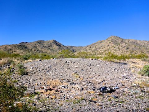
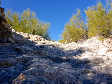
Following the canyon bottom down, I found several attractive dryfalls.
There’s a lot of old jeep trails in what is now Skyline Regional Park. One of them appears to extend from Skyline’s main wash up to within 100 yds. of the VABM benchmark, on the ridgeline southeast of Pyrite Summit. My plan to check it out did not survive first contact with the enemy.
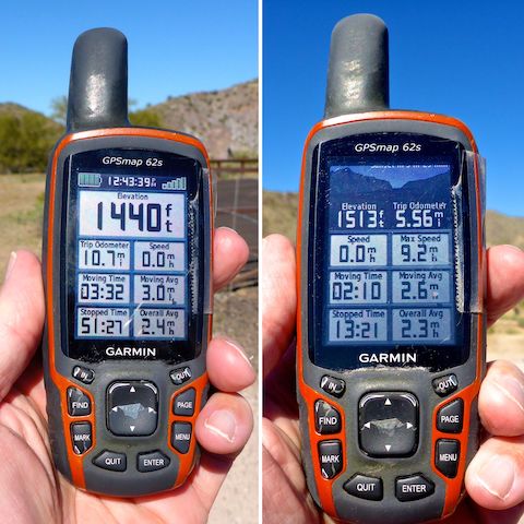
First, I did not get on the road until 9:00 a.m. Then there was clogged traffic for several miles of I-10 construction in Buckeye. When I got to Skyline Regional Park, it was 52℉, but so windy it was miserable. I thought about just heading home, but luckily had brought a hoodie. Then my crappy Garmin 62S decided to fuck me. Again. 🤬
So, rather than blabber on, enjoy this short photo essay …
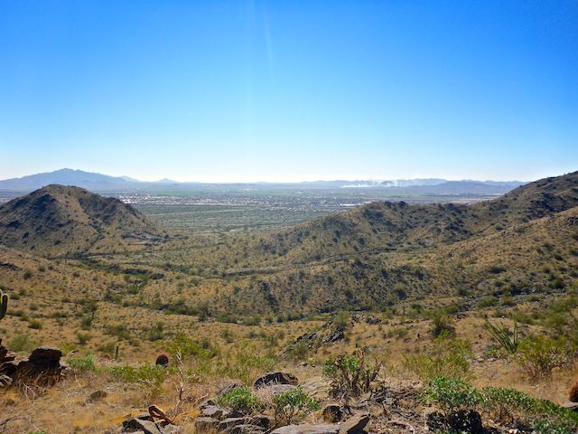
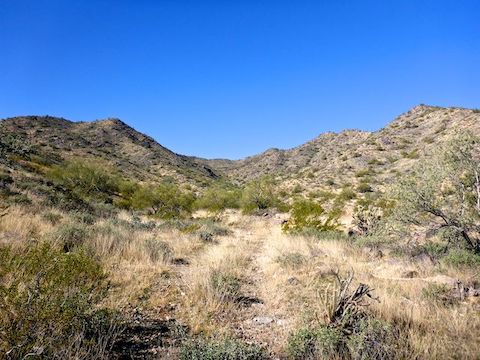
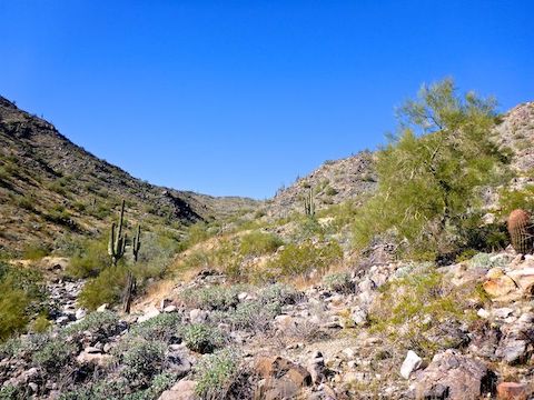
Firing range. There was lots of old, tarnished, brass along this jeep trail — mostly 7.62 and 5.56, and later some 9mm.I climbed up a steep, rocky, jeep trail to get to this OP. Looking southwest, across I-10 and Buckeye, to Sierra Estrella, Rainbow Valley, Maricopa Mountains and Buckeye Hills (left to right). Getting up here would be a tricky climb in a Jeep.I dropped back down from the OP, then headed up canyon via a barely discernable jeep trail I had spotted on sat view.Lost the jeep trail. I know it continues / restarts up canyon somewhere, but by this point I just wasn’t feeling it, so I headed back down.I actually found a Chrysler taillight in the canyon bottom above this dryfall.My crappy Garmin 62S after hiking Bulldog Canyon last week, and today. Not only did it pork the display format, it rearranged all the menus. The horror of this occurence cannot be understated for someone who relies on things being in the same place, the same way every time. Swallow my dong, Garmin. 🍆
Directions: From Phoenix, head west on I-10. Take Exit 117 onto north Watson Rd. Drive 2.0 miles to the no fee gate, then another 0.9 miles to the end of the road.

