

Lots of construction work available in Prescott, so the only day Paul (aka Prescottstyle) had available to do something was on Saturday morning.
Paul proposed biking Peavine Trail to Iron King Trail. Since it is only three easy miles to the Entro siding, I arrived at Sundog Ranch Trailhead early to get in some extra miles. 🚴🏻♂️
First, I rode up the west side of Watson Lake to the boat ramp. Then I doubled back, heading down Sundog Trail to the industrial park. Not feeling like going all the way back to Sundog Ranch Trailhead just to come back to where I was, but a few feet over, I heaved my bike over a gate, then rode down into the Watson Woods Riparian Preserve.
After an hour on my own, I finally met up with Paul at the south end of Watson Lake.
There were TONS of people walking & biking on Peavine Trail and Iron King Trail. A couple of the more serious bikers got a kick out of Paul riding a unicycle. But there were way too many fat, lazy, cheating bastards on “e-bikes”. 👋
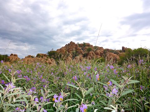
Flowers in the Watson Lake, Peavine Trail and Iron King Trail area were going bonkers with all the rain Prescott has been receiving. (The next 10 days are predicted to rain as well.)
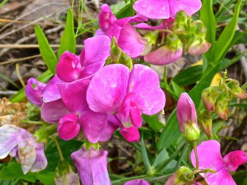
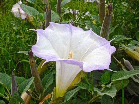
I hadn’t planned on it, but I frequently stopped to photograph the abundant #flowerporn. I photographed sacred datura, silverleaf nightshade, Stansbury’s cliffrose, peavine, scarlet penstemon and Dalmatian toadflax. Flowers I did not photograph included globemallow, fleabane, and many more.
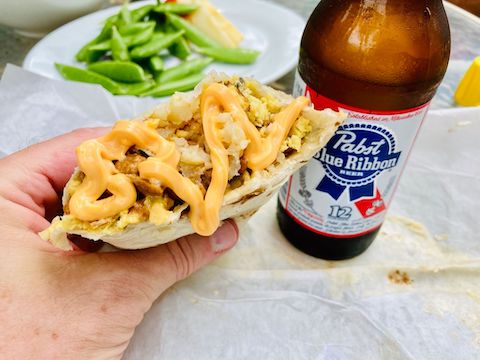
Our humid ride complete, Paul and I retreated to his place for lunch & liquid replenishment. Is there a more refreshing hiking beer than an ice-cold Pabst?
Directions: From Phoenix, head north on I-17 to Exit 262. Head west on AZ-69 for 30.5 miles. At the mall, turn right onto Prescott Lakes Parkway. In 1.5 miles, just past the jail, turn right onto Sundog Ranch Rd. The trailhead is just ahead on the left. Parking is $3 (free on Wednesday).
GPS File: East_Clear_Creek_Quaking_Aspen_Loop
Distance: 13.16 miles
AEG: 315 ft.
Time: 2h 11m