

My wife and I were in Prescott today for a cookout with my mine exploring buddy Paul (aka Prescottstyle). But since he wasn’t getting off work until 3:00 p.m., I needed something to do.
Normally, Thursday is my long hike day, followed by editing GPS routes, photos, video and writing a blog Friday through Sunday. But I didn’t want to worry about gathering material, so I decided instead to simply go for a casual stroll, sans hiking gear, around Watson Lake. To just enjoy the Granite Dells. 🤗
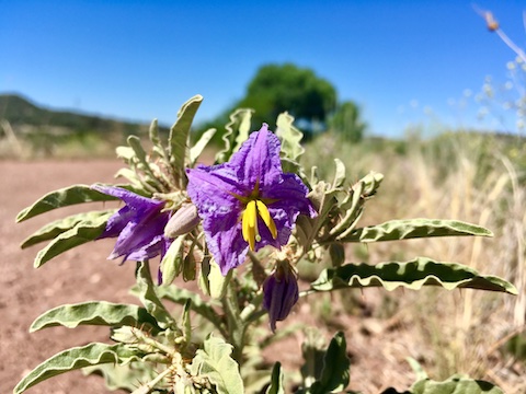
Now, the observant reader will notice there is a photo up there, writing right here, and a GPS route just below, but that’s it!
Okay, one more thing! After my walk around Watson Lake, I stopped at the south boat ramp to say “hello” to Karts Huseonica and Lolo Sherwood who plan to canoe the entire length of the Yukon River, in far northern Canada, starting in June. Check out their links:
Directions: The quickest way is actually to take the beltway around the north side of Prescott. From Phoenix, head north on I-17 to Exit 262. Head west for 21 miles on AZ-69. Turn right on the Fain Rd. beltway. In 7.2 miles, stay left on the beltway, which becomes AZ-89A. In 6.3 miles, exit south onto AZ-89. (If you’ve spent any amount of time at all in central Arizona, you will know that AZ-89 and AZ-89A are two different highways.) In 3.1 miles, at the traffic circle, go left onto Watson Lake Park Rd. Entry fee is $3.
GPS File: Watson_Lake_Loop
Distance: 5.75 miles
AEG: 530 ft.
Time: 2h 06m
Last Time I Was Out Here
Hiking Prescott’s Granite Dells from Preston McMurry on Vimeo.