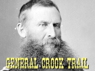
General Crook Trail Index
In 1871, General George Crook surveyed a supply road west from Fort Apache, Arizona, across the Mogollon Rim to Camp Verde, then on to Fort […]

In 1871, General George Crook surveyed a supply road west from Fort Apache, Arizona, across the Mogollon Rim to Camp Verde, then on to Fort […]
The Prescott Circle Trail is a 54-mile mostly dirt loop around the city of Prescott. The “Other” PCT is a multiuse trail, which means hikers, […]

The Prescott Circle Trail (PCT) is a 54-mile loop around Prescott that utilizes City of Prescott, Yavapai County and Prescott National Forest trails. The PCT […]
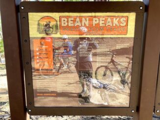
I was going to ride some mellow forest roads on the Mogollon Rim, but decided instead to hook up with my unicycle-riding buddy Prescottstyle to […]
The Black Canyon Trail (BCT) is a National Recreation Trail that stretches 93 miles, from Carefree Highway, in north Phoenix, to the John 3:16-17 spring box, […]

The Prescott Circle Trail (PCT) is a 54 mile, all dirt, loop around the city of Prescott — 58 if you count the sidewalk along Williamson […]
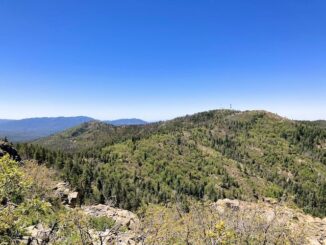
Our plan was to do the usual double summit, but Yankee Doodle Trail #284 up Mount Union is closed. (It crosses a deeded mining claim, […]

Heading east from Dewey, this is the 2nd segment of General Crook Trail. In 1872, General George Crook — or rather his troops — built a road […]
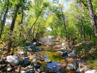
Heading east from Dewey, this is the 1st segment of General Crook Trail. I have ongoing projects day hiking / biking the Chesapeake & Ohio Canal, […]
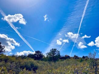
It’s been nine months since Prescottstyle (Paul) and I last hiked together. Now that the weather is better in mile-high Prescott, I figured we ought to […]
Copyright © 2025 Preston V. McMurry III | WordPress Theme by MH Themes