Barbershop Canyon is a 14-mile long canyon on the Mogollon Rim. The head of Barbershop Canyon is at Burnt Point. Dick Hart Ridge is on Barbershop’s west flank. McClintock Ridge is on Barbershop Canyon’s east flank, ~8 miles to its confluence with Dane Canyon. Dane Ridge is on Barbershop’s east flank the final ~6 miles to East Clear Creek at the FR 95 crossing.
My plan was to hike the middle 4½ miles of Barbershop Canyon, to it’s confluence with Merritt Draw, at U-Bar Trail #28. When I hiked the upper 4½ miles of Barbershop Canyon in 2021, the exit supposedly had a cairned use trail. I found neither cairn nor use trail. At the time, it was the second steepest exit I’d ever experienced. I hoped to find that easier use trail from the opposite direction, starting on FR 139C.
Long story: We left home at 5:50, ten minutes earlier than normal, on Wednesday, our usual day. Traffic heading up I-17’s twisties to Sunset Point has been much less since the flex-lanes were built. As it was today. Traffic tends to bunch up a bit when the flex-lanes re-merge. Today, it stopped. And was little better for 20 miles. Awful. More like a Friday afternoon. I was apoplectic.
Made usual stop at Verde Valley Shell for ice & supplies. Got up AZ-260 lickety split. The west end of Rim Road is getting steadily bumpier since it was last graded in fall, 2020. Particularly on the insides of corners. As I drove by General Springs at milepost 12 — Google AI: “Rim Road has no mileposts” 🙄 — I turned on my crappy Garmin GPS.
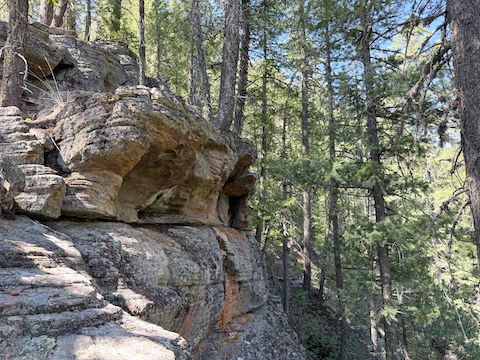
It took so long for my GPS to find satellites, I was driving one-handed, holding it out the window, as I turned north on FR 139. Then it died. No battery. No problem, I got a spare set I keep in a sandwich bag with lens wipes in my left pants pocket. Bag not there. Check alternate location, left thigh pocket. Not there. Beyond anger, into silence. Ask wife, you got AAs? No. Open liftgate. Look in pack. F**k my life.
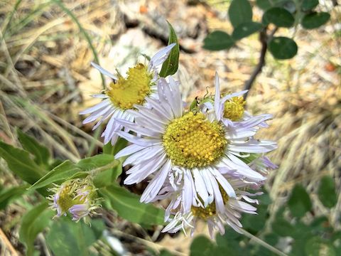
Barbershop Trail #91 crosses FR 139, and I thought about winging that, but decided to instead turn onto FR 139C. It was rocky, but not bad. There were tons of blooming coneflower in the draw that runs down the middle of the ridge. I stopped where I had memorized I was supposed to start, a camp just before FR 9735P. Checked out the camp, and decided without a GPS middle Barbershop Canyon was a no go.
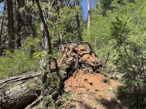
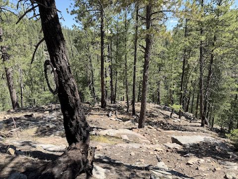
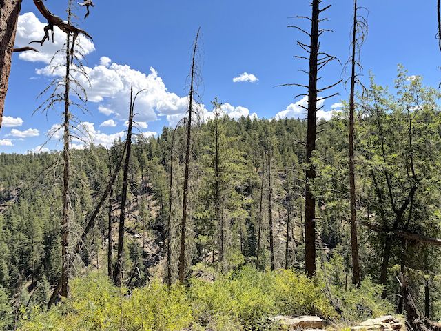
Got to end of FR 139C. Decided to descend to U-Bar Trail #28, and scout around there. First ⅔s down were easy. Wasn’t sure about the rest. Too discouraged in general to try. Opted to instead bushwhack south along the Barbershop Canyon rim for a bit. There was the usual brush, rocks and deadfall, but not difficult. Reached relatively open area. Followed that. Found myself back at FR 139C. Gave up.
 Such as it was, Barbershop Canyon was my 74th Mogollon Rim hike, above or below the Rim. Last week’s trip to Stott Canyon and Hangmans Draw were my 39th and 40th different Rim canyons. My goal being to hike every canyon on the Rim. Emphasis on “goal”. 🤦🏻♂️
Directions: From Phoenix, head north on AZ-87, the Beeline Highway, through Payson, Pine and Strawberry. (Alternately, take I-17 north, then AZ-260 east.) 2.6 miles north of AZ-260, turn right onto Rim Rd. / FR 300. In 12 miles you will cross the Arizona Trail at the Battle of Big Dry Wash monument. After 15.8 miles on Rim Rd. / FR 300, turn left onto FR 139. After 2.6 miles, turn right on FR 139C. It is 2.0 miles to the end of FR 139C.
Distance: 1.50 miles
AEG: 250 ft.
Time: 1h 30m
