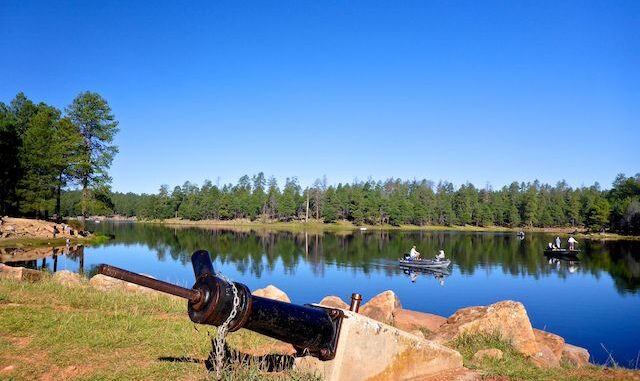
In July, 2020, I attempted a through hike of Willow Springs Canyon and Woods Canyon. Long story short, I bit off more than I could chew and had to bail, leaving some gear behind. I’ve since wondered if there were better routes into, or out of, either canyon. 🤔
That curiousity was the motivation for my Willow Springs Canyon rim exploration two months ago, and for why I returned to Woods Canyon today. A map recon revealed a side wash that might ease access to the bottom of the middle of Woods Canyon.
My plan was to hike from the Spillway Campground, across the Woods Canyon Dam, head northeast cross-country for ¾ of a mile to decommissioned FR 195M, follow the old road bed east for 1¼ miles to FR 195D, drop into the side wash, follow that down a ½ mile to Woods Canyon, then head down Woods Canyon ¾ of a mile to about where I lost my gear. 🧭
Rather than continue describe my day, here instead is a series of photos:
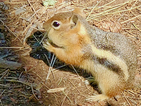
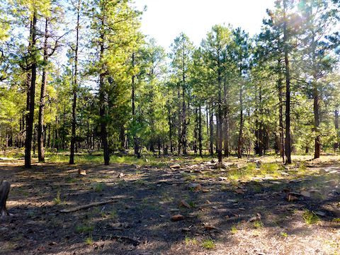
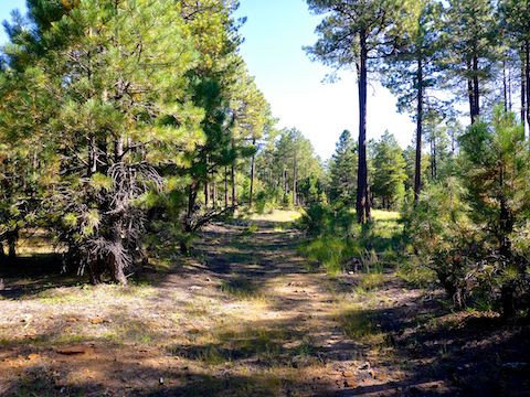
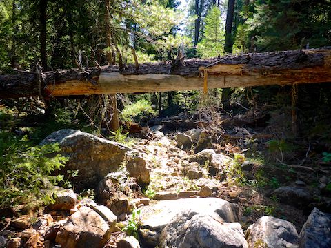
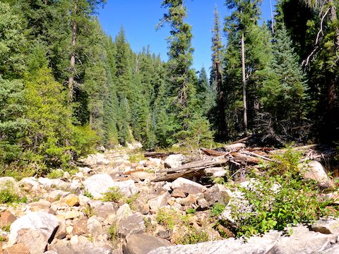
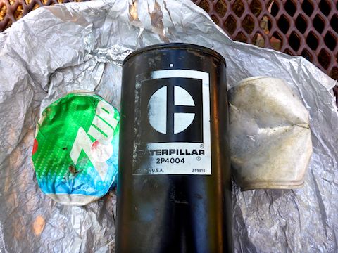
After giving up on searching for my lost gear, I headed back up Woods Canyon. Rather than re-negotiate the tangled side wash, I decided instead to climb out on its left bluff. It was a steep 150 ft., but took much less time than the wash. Starting at 8:30 a.m., I met my wife back at the Spillway Campground just before 1:00 p.m. Then it was off to the bait shop for my favorite part of hiking Woods Canyon Lake: beer and, especially, Good Humor Ice Cream! 🍦🤗
Rim Top Trailhead Directions: From Phoenix, head north on AZ-87, the Beeline Highway, to the main intersection in Payson. Head east on AZ-260. In 29 miles, just after AZ-260 tops the Rim, turn left onto FR 300, aka Rim Road. In three miles, turn right onto Woods Canyon Rd. In 1.1 miles, turn right towards Spillway Campground, which is in a ¼ mile, and has a $7 day use fee. Or stay on Woods Canyon Rd. until you reach the bait shop, where parking is free. (Then hike over to Spillway Campground.)
GPS File: Woods_Canyon_Side_Route
Distance: 8.39 mi.
AEG: 501 ft.
Time: 3h 29m
Flower Video
Arizona Flowers: High Country from Preston McMurry on Vimeo.
