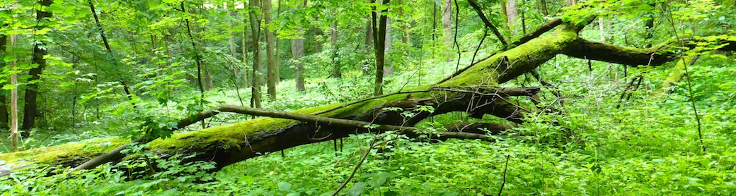
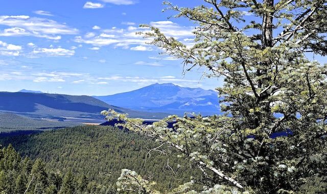
Mahan Mountain (8,270 el.) and Hutch Mountain (8,532 el.) are a pair of small mountains, located nine miles south of Mormon Lake, and six miles east of Stoneman Lake, in the Coconino National Forest. Mahan Mountain and Hutch Mountain are split by FR 135, which you drive 2.6 miles east from Lake Mary Rd. to the trailhead on FR 135A.There were quite a few RVs and OHVs parked by Lake Mary Rd.
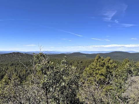
Mahan Mountain, or Hutch Mountain, would make good hikes if you are camping nearby, but they are only a destination hike if you climb both. Hiking options include:
- Mahan Mountain, out & back: 2.0 mi., 430 AEG
- Hutch Mountain, out & back: 4.2 mi., 760 AEG
- Lookout Tank, 0.5 mi., 25 AEG
Since I drove all the way up from Phoenix, I hiked the whole package for 6.7 mi., 1215 AEG. (My stats are a bit higher due to wandering.) Five years ago, I hiked around Mahan Mountain.
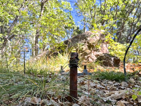
I was pleasantly surprised by the lack of traffic in the forest: All day, I only saw two pickups, and one OHV, all driving responsibly. And none on the Mahan Mountain summit “road”, even though it was obvious OHVs had blazed fresh trail, bypassing previously reported choking deadfall. The Mahan Mountain summit road was no problem hiking, even at 9.4% slope.
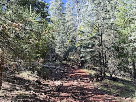
FR 135B, the road up Hutch Mountain, is car drivable, with a more moderate 7.5% slope. About halfway up, I called an audible, diverting cross-country to Lookout Tank. Bushwhacking up Hutch Mountain, or Mahan Mountain, would not be unduly difficult, but I am old, chubby, and sleep-deprived, so I took the roads. I was also working on a short week due to getting out a day later than normal. 😴
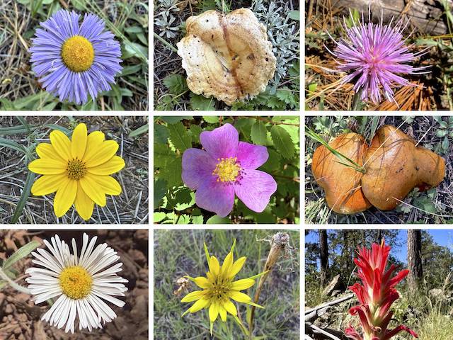
Top Row: aspen fleabane (I think), unknown mushroom, Wheeler’s thistle.
Middle Row: showy goldeneye, Wood’s rose, unknown mushroom.
Bottom Row: spreading fleabane, yellow salsify, paintbrush (w/ crappy iPhone 17 Pro focus).
I also saw many showy goldeneye, especially in open areas. Plus western yarrow (Achillea millefolium), silver lupine (Lupinus argenteus), pineywoods geranium (Geranium caespitosum), white prairie aster (Symphyotrichum falcatum), and velvety goldenrod (Solidago velutina). Frankly, considering a good summer monsoon, I was expecting more high country flowers.
FR 135B ends at a t-intersection, backed by a small grove of aspen. There’s plenty of room to park if you drive up, as FR 135T is gated to both of the Hutch Mountain summits. People can walk through the gates. Left on FR 135T is the 8,518 ft. false summit;, right to the Hutch Mountain Lookout. Not sure how horses got by the gate. Btw, there is 4-bar Verizon reception on Hutch Mountain. (2-bar at the trailhead.)
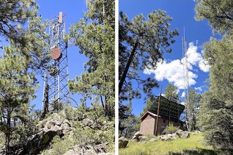
If you turn right on FR 135T, that is the way to the true Hutch Mountain summit. The first gate is wood. Yes, there is another gate. Why, I don’t know. The second gate is tube steel. Just past the second gate, there is a footpath shortcut up to the Hutch Mountain Lookout.
The 31-foot tall steel Aermotor Hutch Mountain Lookout was built by the Civilian Conservation Corps in 1936, replacing a 1920s era wood structure on Mahan Mountain. Below the lookout is a well pump & cistern with non-potable water. To the side are a picnic table and locked trailhead-type pit toilet. Currently unmanned, the observation deck was also locked. At least 20 ft. of stairs are accessible.
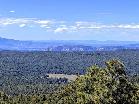
After a delicious murderwich — the only hiking food I could cram into my Camelback — I booked it two miles back down Hutch Mountain in only 41 minutes to my always waiting, and always supportive, wife.
Trailhead Directions: From Phoenix, head north on I-17 almost to the top of the Mogollon Rim. Take exit 306 onto Stoneman Lake Rd. / FR 213. The first six miles are paved; the final nine miles are car driveable dirt. (This is much quicker than taking AZ-87 through Payson!) At the east end of FR 213, turn left onto Lake Mary Rd. In 1.3 miles, turn right onto dirt FR 135. In 2.6 miles, split right onto FR 135A, then park in the dispersed camping area.
GPS File: Mahan_Mountain_Hutch_Mountain
Distance: 7.36 miles
AEG: 1,276 ft.
Time: 2h 57m
Rumble Video
Vimeo Video
Hiking Mahan Mountain & Hutch Mountain, Coconino National Forest from Preston McMurry on Vimeo.
