
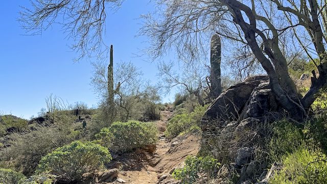
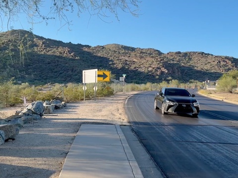
Thondum Wihom Trail is located on the north side of Phoenix South Mountain Park / Preserve, where Dobbins Rd. curves north to become 20th St., in a more upscale area of south Phoenix. The east side of that Dobbins Rd. / 20th St. curve is designated the Thondum Wihom Trailhead, but there is no lot. No side-by-side parking. Parallel only. And there’s not much room.
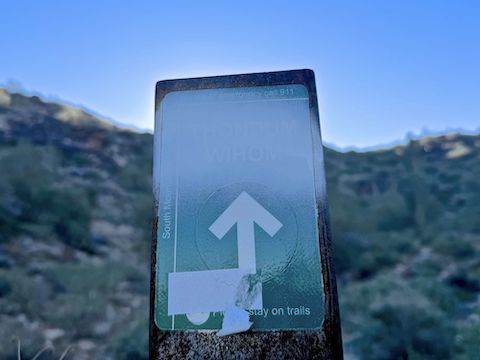
Thondum Wihom Trail was known as Geronimo Trail until November, 2023. “Thondum Wihom” is an Akimel O’oodham term meaning “bright thunder”. The O’oodham reservation is located west and south of South Mountain — the area I skirted on my Loop 202 survey hikes.
I’m not sure where the original 1930 trailhead was, but Thondum Wihom Trail remains 2.5 miles long, climbing ~1,200 feet. 96 years later, Thondum Wihom Trail still passes by the Boy Scout camp. (How does the BSA keep all it’s Arizona camps open when membership has dropped 70% since 2001?) From 20th St., the trail squeezes between two fencelines, and some “no trespassing” houses.
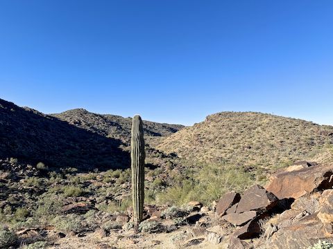
Thondum Wihom Trail then drops 80 ft. to a wash crossing. I searched for petroglyphs a couple hundred yards up & down wash, but found nothing but 🐝s. From multiple experiences with wild bees in Arizona: No need to panic. Don’t wave your arms, or try to slap them. Those are the scouts. Simply back away, give them a wide berth, and after a hundred feet or so of leeway, they will back off. 👍

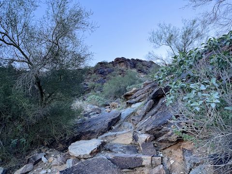
As Thondum Wihom Trail begins climbing out of the wash, there is an unmarked trail to the right. That is a ⅔ mile downhill bail to the scout camp. The second climb is 580 ft. in a mile, which sounds like a lot, but it was a noticeably more moderate 11% slope. At the top of the climb, there’s a use trail back, and to the right, ¼ mile to an informal, less obstructed, observation point.
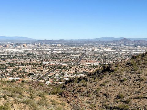
From the top of Thondum Wihom Trail’s second climb, it is only 300 yds. to the bench at Buena Vista Lookout, and another 100 yds. past the bench to the small parking lot on Buena Vista Rd. at Maricopa Trail / National Trail. Unlike nearby Dobbins Lookout, no U.S. Army Signal Corps stone fort.
Many folks will make a 7.0 mile, 1400 ft. AEG loop of Thondum Wihom Trail, Buena Vista Lookout, National Trail, and Mormon Trail. Instead, I headed straight down. Back at the scout camp, I took Beth Dr. and 22nd St. to Mormon Trailhead, which saves a whopping ¼ mile over Euclid Ave. and 20th St.
Mormon Trailhead Directions: From I-10 in south Phoenix, take exit 151B, south onto 32nd St. Stay right. In 0.3 miles, turn right on Broadway Rd. In 1.0 miles, turn left on 24th St. (There is no 24th St. exit from I-10.) Follow 24th St. 2.8 miles south to its end at Mormon Trailhead.
Park Map: South_Mountain_Park_Trail_Map (pdf)
GPS File: Thondum_Wihom_Trail_South_Mountain
Distance: 7.03 mi.
AEG: 1,328 ft.
Time: 3h 02m
Rumble Video
Vimeo Video
Hiking Thondum Wihom Trail, Phoenix South Mountain from Preston McMurry on Vimeo.
