

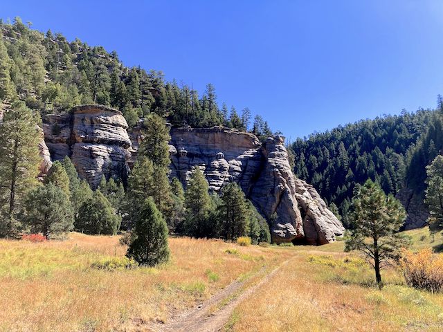
Despite the nearby Brigade Fire, the sky really was this blue.
My pal Baron, his wife, and their two dogs, were camping by the Naval Observatory on Anderson Mesa. So, I drove up to Flagstaff for this week’s hike. And, afterwards, a cookout at their beautiful camp spot overlooking Upper Lake Mary.
There’s several options for hiking Sandys Canyon and Walnut Canyon:
- Sandys Canyon Trail #137: Out & back to Fisher Point is 4.3 miles, 240 AEG (accumulated elevation gain).
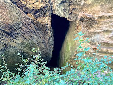
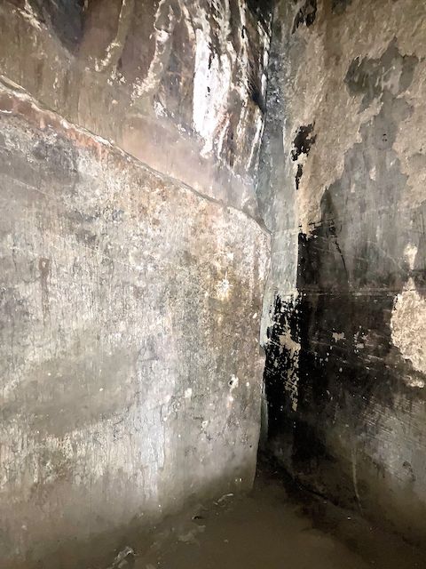
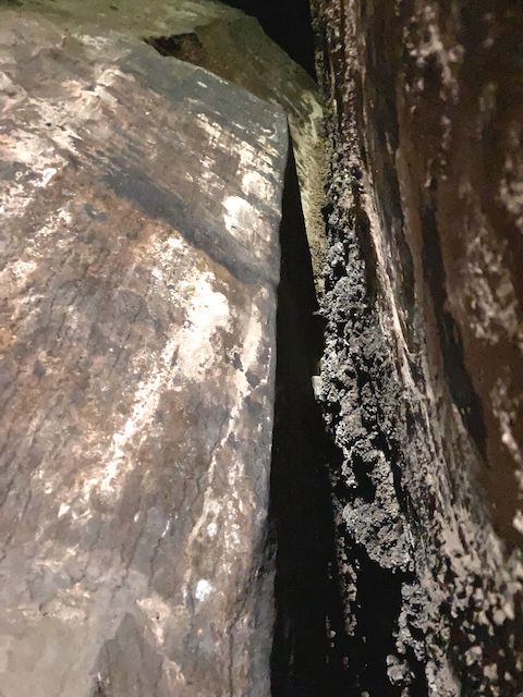
- Continue to the Slot Cave: Add 0.5 miles, 0 AEG, out & back.
- Continue until the Walnut Canyon trail peters out: Add another 4.0 miles, 150 AEG, out & back.
- Side trip to the top of Fisher Point: Add 2.2 miles, 460 AEG, out & back. 🏞
I didn’t take many photos, and we only did the first two options, so we could get the cookout started earlier. For a full description, read my 2020 Sandys Canyon / Walnut Canyon blog.

Directions: From Phoenix, head north on I-17 almost all the way to Flagstaff. When you see the signs for I-40 east, stay right. Take the Lake Mary Rd. exit, which is just before I-40. In 4.6 miles, turn left onto FR 9478Y. Immediately make a right, onto FR 9478X. The Sandys Canyon Trailhead is a ¼ mile ahead. The forest roads are bumpy dirt, but car drivable. There is no parking fee.
GPS File: Sandys_Canyon_Walnut_Canyon
Distance: 5.08 mi.
AEG: 252 ft.
Time: 2h 08m
Baron’s Hiking Video
Misty Mountain Hop featuring @PrestonMcMurry pic.twitter.com/HisvbbxPtV
— Baron Von Grimm (@baronvongrimm) September 25, 2024