
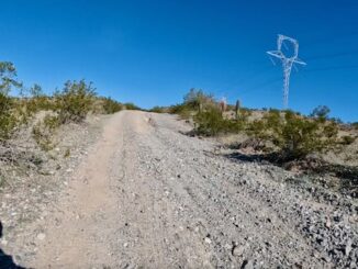
Butterfield Stage: Estrella Rd. to Gap Well
What is now known as the Butterfield Stage Trail was in use at least as early as Juan Bautista de Anza’s expedition from Culiacan to […]
What is now known as the Butterfield Stage Trail was in use at least as early as Juan Bautista de Anza’s expedition from Culiacan to […]
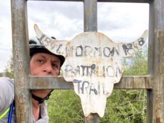
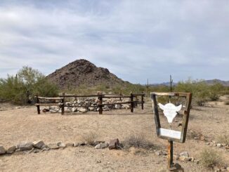
The Butterfield Stage was only in operation from 1858-1861, but the Southern Emigrant Trail across the desert Southwest was in use from Juan Bautista de Anza […]
A list of all the trails & trail systems that I am day / segment hiking, or have hiked / biked.
Any given Old West trail, rather than being a singular track — like, say, Interstate 40 — was a web of routes heading in the […]

The Great Allegheny Passage, aka the GAP Trail, is a 150-mile rail trail that travels from the end of the C&O Canal in Cumberland, Maryland, […]
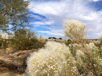
Maricopa Trail is a 315 mile trail system in Maricopa County. The 315 miles is the total, including access routes. The actual loop itself, around […]
Reach 11 Recreation Area is located in north Phoenix. From Cave Creek Rd., Reach 11 stretches seven miles east to Scottsdale Rd., and a less than a […]
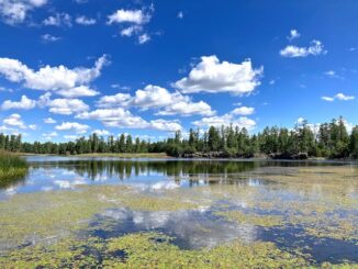
White Horse Lake is a dammed 35-acre lake, located 13 miles southeast Williams, on the rim of Sycamore Canyon. White Horse Lake Campground has 94 […]
Heading east from Dewey, this is the 10th segment of General Crook Trail. The original General Crook Trail, surveyed by General George Crook in 1871, was […]
Doing one of my regular bike loops, through Dreamy Draw, in the Phoenix Mountains Preserve. Zipping down the bike path towards AZ-51 / Piestewa Freeway, […]
Copyright © 2026 Preston V. McMurry III | WordPress Theme by MH Themes