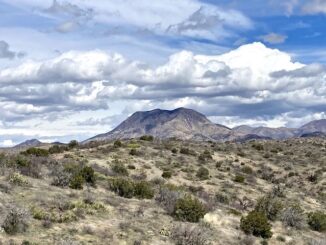
Aravaipa Canyon Exploration
My plan — the one I had loaded in my GPS — was to follow BLM Route 5026 up Bear Canyon, over a ridge, and […]

My plan — the one I had loaded in my GPS — was to follow BLM Route 5026 up Bear Canyon, over a ridge, and […]
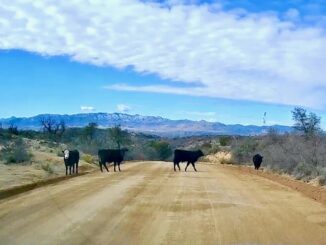
Klondyke Road is a quality dirt road, from US-70, between Fort Thomas and Pima, 40 miles to the east trailhead of Aravaipa Canyon. This is […]
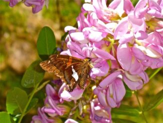
The second of my Arizona flowers videos, moves out of the low desert, into the “high country” of northern Arizona. The terrain is much more […]

First order of business is a celebratory whisky — Balvenie 12 year old, single malt, single barrell, first fill — commemorating this, my 500th YouTube […]
Sitting at a red light, minding my own business, with a ¼ mile of clear road behind me, when I got clobbered by a truck. […]
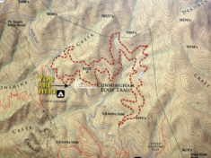
I was going to hike Cunningham Loop Trail #316 last week. I only made it to Gold Canyon. I figured after being rear-ended by a […]
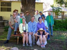
Missed out on the last Aravaipa Property Owners Association (APOA) thru hike, I think it was last year, so I wanted to make sure I […]
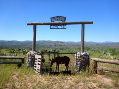
The Klondyke Cemetery is where the Powers Family, of Powers Cabin Shootout fame, is buried. I had intended to stop here on my May visit […]
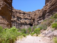
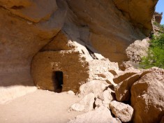
After checking out the Turkey Creek Cliff Dwelling, Randy dropped me off at the intersection of Turkey Creek and Aravaipa Creek. I had never hiked […]
The drive from Pima, over the pass above Cottonwood Canyon, past the radar towers, down to Klondyke Rd is simply spectacular. I enjoyed the drive […]
Copyright © 2025 Preston V. McMurry III | WordPress Theme by MH Themes