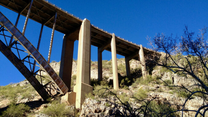
Did the Queen Trail in the morning, before stopping by the Historic Pinal Cemetery early in the afternoon. Stopped for breakfast at the Buckboard Cafe, but still got started a good 30 minutes earlier than I expected. Even though the sun was up, I hiked 3/4 of the hike in shadow, even at the very end, around 10:40 a.m., because Queen Creek Canyon is narrow and deep enough, and the sun has a hard time getting around Apache Leap. The low light played havoc with the focus on my iPhone, so I shot a lot of photos in the hope of getting a few that turned out. (173 photos and videos, for an average of 32 per mile.) 😇
Lots of grafitti in and about the Claypool Tunnel. Semi air brakes audible the whole hike. On the way back, when I reached the Superior water facility, I dropped into the Queen Creek creek bed. From the trail, it had appeared as if the flat creek sides would be easily navigable; instead, they were dense with grab & stabs. Only practical option is to walk right up the rocky middle. And it is quite rocky. Careful foot placement recommended to avoid ankle injury. (Half my hike time was in the final 1/4 of the hike.)
Distance: 5.43 mi.
AEG: 679 ft.
Time: 4h 24m
