The Mogollon Rim is a 200-mile long escarpment, extending from Yavapai County to New Mexico. Up to 2,000 ft. above terrain, the Rim separates the low desert of central Arizona from the higher elevation Colorado Plateau in the northern third of the state.
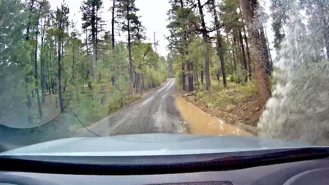
Rim Road, also known as Coconino National Forest FR 300, extends 43 miles from AZ-87 milepost 281, just north of the hamlet of Strawberry, to AZ-260, just east of Woods Canyon Lake. The first 40 miles are dirt; the last three paved. The west end of Rim Rd., particularly from Milk Ranch Point, past Kehl Spring, to General Springs, has been rutted and bumpy in the past. But the road work done in 2020 has held up through winter 2020-21, and even summer 2021’s record setting monsoon. (Including 2.5″ the day before this drive!)
I’ve driven Rim Road many times along the Mogollon Rim, but never end-to-end, in one day, in the same direction. Today, sandwiched around a hike down Barbershop Canyon, I made the drive in just under two hours.
GPS File: Rim_Road_FR_300
Distance: 43 miles
Time: 2 hours (without stops)
