Wife was out of town, so I wanted to do something that was not too isolated. I’ve been in Prescott a lot lately, and had been considering a combination of Houston Trail and Houston Loop. That seemed a bit long, and not quite adventurous enough, so I came up with a plan to start from Shoofly, cross Walnut Flat, descend an unnamed canyon, take PATS to Lockwood Gulch, head down that to the housing area, cross the barren zone, pick up PATS again, following that to the base of Houston Creek, then up the creek back to the top of Walnut Flat, then back to Shoofly.
There was very little traffic on Hwy 87. I set cruise control at 70, and only braked once, for traffic, even through the tight curves, on the way up. Made better time than I expected, and was on the trail — or at least checking out the ruins — by 7:20 a.m. The Shoofly signs were much more interesting than the ruins. I’ve seen better unregistered ruins. ![]()

On my way to the head of the unnamed canyon, I came upon an old cowboy, and his mare “Ruby”. Had a good long chat with him. He’s been working in the area since the 50s. Not much feed for cattle up there these days. Nor for elk, which being in the two most popular hunting zones in Arizona — 22 and 23 — have been considerably thinned over the years. He used to see heards of 30-40. He was looking for elk antlers, and used to find three or four every trip, but not much lately. There was certainly evidence of elk everywhere. Walnut Flat, and the canyons below it, is a virtual elk scat minefield.
There followed a very mellow descent into the unnamed canyon. Negotiating the brush on the way down, and along the canyon bottom, was not a problem. When I got to PATS, I low-crawled the barbwire fence. If I had gone 200 yards west, there would have been no need. ![]() No big deal, though.
No big deal, though.
Lockwood Gulch was similar to the unnamed canyon, with the addition of some small cascades. Too bad there was not a drop of water in the gulch.

Anybody know what the deal is with the barren zone between the houses at the north edge of Payson and the Tonto National Forest? (Yeah, it’s Tonto even way up there.) Burn area? Burn buffer? Something else?
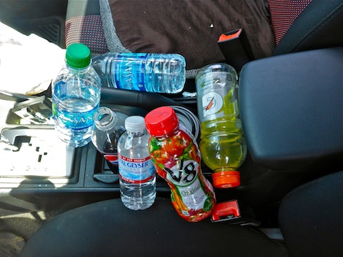
By the time I got back on PATS, I was feeling the heat. I didn’t want to beat brush up the entire length of Houston Creek, so called an audible, and continued on PATS for another mile, rather than looping south towards Mayfield Canyon. Good thing I do a thorough map / sat recon before every hike, because doing so enabled me to pick up a very old trail up Houston Creek canyon, rather than bushwhacking up the canyon bottom. (Which was bone dry.) The top half of the trail was even cairned. ![]()
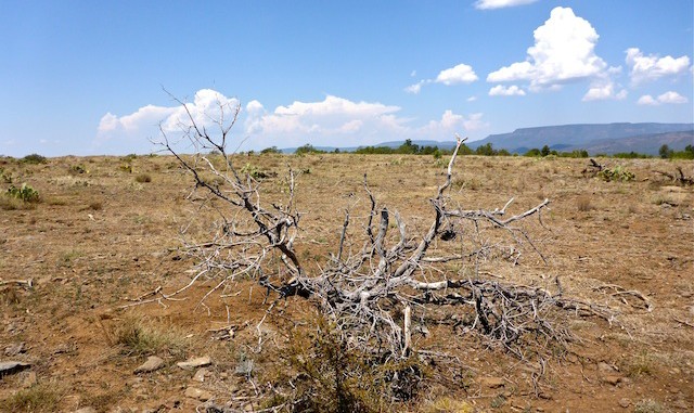
Back on Walnut Flat, the temps were well into the 90s, and there was very little shade on the mile and half back to Shoofly. Even the cacti looked dehydrated.
GPS File: Houston_Loop_Trail_PATS
Distance: 8.51 mi.
AEG: 856 ft.
Time: 3h 30m
Hike Video
Houston Mesa, Tonto National Forest from Preston McMurry on Vimeo.
