Wife is out of town, so I figured I would take the opportunity to do some hiking in area I’d never been to, let alone hiked.
I really enjoyed the scenery driving across the San Carlos Reservation, then down the Gila River valley, which kind of reminded me of driving across Texas (except for the mountains in the distance). Especially with fields right up in the middle of town. The road from U.S. 70 to the Gila Box was actually paved most of the way, all except one short stretch, and the final mile down to Serna Cabin.
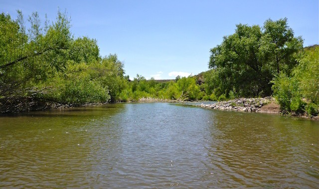
The Gila River was moving pretty good, at the bottom of Bonita Creek (which was dry). Too strong to wade, and too wide to jump. So, I headed up a bank. When I hit a cliff, it was flowing less strongly, so I crossed to the south bank. Still, I almost lost my footing … twice. I had been walking across the current, so I quickly deduced that the best technique was to face into the current and shuffle sideways, which I did on my many subsequent crossings.
The south bank seemed more open, but it wasn’t. The brush was not necessarily stabby, but it was grabby and trippy, and I got scratched up pretty good trying to power my way through. I decided to try hiking *in* the river.
That proved even more interesting. Some places were only knee deep, some over waist high. I resorted to a mountain climbing technique of testing ahead with my pole, testing for depth, then stepping only if it seemed safe (not above waist deep). That got old, quick. It became rather obvious there was no trail, or if there was, I was not on it, and not likely to find it. I decided to bail.
Once I got opposite Bonita Creek, I decided to check west, down stream. At first it seeemed more open, but then it brushed up as well. (It was only after returning, and re-reading the hike description, that I realized that west is the way to the boat landing.)
Back at the Serna Cabin, some other folks had shown up, but they were unaware of the river trail’s whereabouts. Despite being soaking wet, covered in mud, with seaweed sticking out my shoes, I took the time to drink a beer. I could not strip to dry clothes with other people around, so drove up to the observation point before getting naked. ![]() I could hardly show up at the hotel check-in looking like I did!
I could hardly show up at the hotel check-in looking like I did! ![]()
Old pair of hiking shoes ruined, I stopped at the Wal-Mart in Safford to pick up some cheap sandals and a Dickie’s work shirt for the next day’s hike into Aravaipa. (Chest pockets being good at keeping cameras and GPS’s out waist high water.)
Distance: 3,44 mi.
AEG: 150 ft.
Time: 2h 01m
