

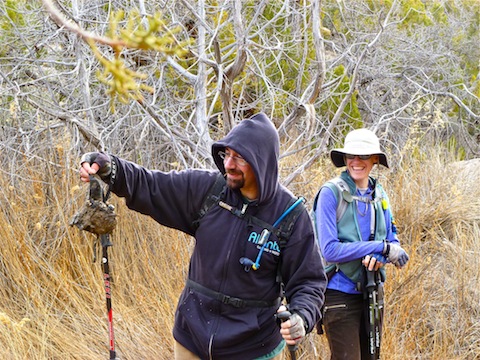
My wife and I took our second straight late-December trip to Las Vegas. (Her Christmas gift was a stay at the Wynn, along with a spa treatment.) Visited my step-mom, played the ponies (not too poorly), and of course got in a hike with autumnstars, this year accompanied by her husband Frank. Whereas in Phoenix there’s lots of good hikes right in the city, in Vegas they are all 20+ miles away, as it is a basin without any criss-crossy mini-ranges. (The in-city “nature” trail at Las Vegas Springs preserve is a cheesy, concrete-laden, imitation of the Desert Botanical Garden / Papago Buttes.)
Being a natural planner, and the lover of maps that I am, I put together a route with three or four possibilities for getting up to Rainbow Springs, which is on the west side of the range which hosts Mount Charleston and Red Rocks. Other than tramping straight north from the biker bar in the hamlet of Mineral Springs, the routes all consisted of following jeep trails/washes southwest-to-northeast across the basin, followed by a short bushwhack up an intermittent creek to either Rainbow Springs, Bootleg Springs, or both.
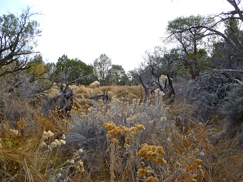
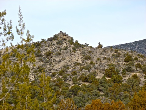
Telling one wash from another was a bit confusing, but they were all easy travelling, with much evidence of shooting and horses. We eventually found ourselves in the very lush creek leading to Bootleg Spring, which was protected by an old corral. (And, according to Sara, bighorn sheep, as indicated by tracks, tree rubbing and poo … lots and lots of poo.) The creek was covered by an ice sheet, but was steadily flowing. From there it was a short jaunt past some agave burn pits to Rainbow Springs. It too was covered with mounds of long grass, but the water was not so obvious. Then we took a short trip up the sandstone overlook, to see where we had come from. Other than a short, steep, up & down cut across the tower hill, it was stroll back to Highway 160.
It was a pleasant hike, but for some odd reason my quads were killing me by Monday evening.
Distance: 6.99 mi.
AEG: 1,297 ft.
Time: 2h 51m