
")
In the Army, a “police call” is when you pick up garbage around your “AO” (area of operations, usually a barracks or motor pool). When I hiked Porcupine Canyon back in June, I found a big pile of trash — mostly beer cans — at the bottom of the canyon. I picked up what I could, but didn’t have the pockets to carry it all. Today, trash bags in hand, I went back to police it up!
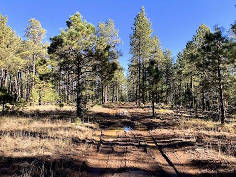
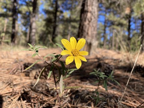
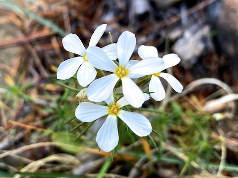
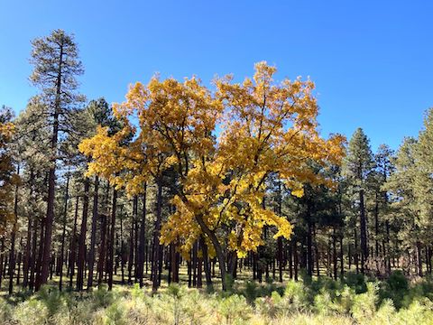
FR X starts with a short, but steep & gravelly, drop along the east edge of Porcupine Ridge. It was a pleasant stroll to my planned drop in point which, coincidentally, was marked by the only deadfall and boulders beside FR X. Before dropping in to Porcupine Canyon, I continued to the far end of FR X, which was marked by a grove of still golden maples. Hiking FR X and FR 34B would be a 2.8 mi., 150 ft. loop.
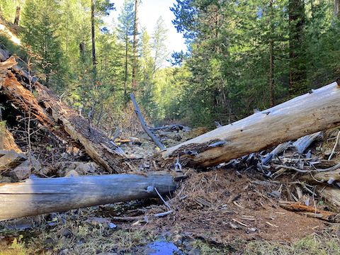
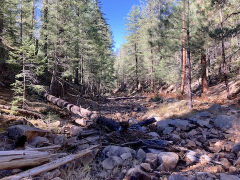
Back at my drop in point, I descended 120 ft. to Porcupine Canyon. The descent seemed more mellow than a 28% slope. On my previous Porcupine Canyon hike, I had marked an obstacle on my GPS, just past the two-mile point. I neglected to note the nature of the obstacle: deadfall, dryfall, or what? My drop in point was past that obstacle, but there were still puzzles to be solved the next mile. 🤔
I slowly hiked Porcupine Canyon, scanning left & right for trash. I knew there was a large pile “just short of mile 3”, but not how short. I did not mark it on my GPS back in June. Plus, the garbage may have washed downstream in early October’s heavy rains. The canyon bottom showed evidence — bent grass — of flooding. (The creekside shelves were unaffected.) I picked up a few items here & there.
In a fortunate coincidence, I found the trash pile at one of my two planned Porcupine Canyon bail points. Except it wasn’t as big as I remembered. Maybe a false memory, but I remembered it as a pile of at least three dozen Bud Light cans. Instead it was less, and scattered. Altogether, eighteen various bits of garbage, some not beer-related.
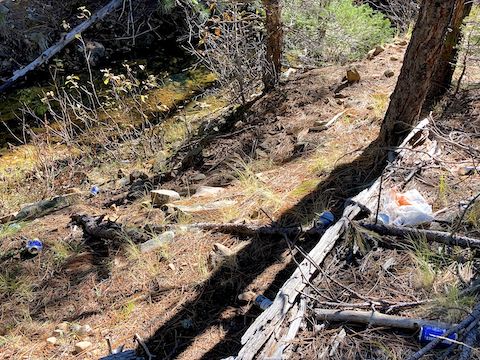
The garbage “pile” was too high up to have washed down Porcupine Canyon. (10 ft., note the creek in the upper left corner.) But I decided to check anyway. I continued down Porcupine Canyon a quarter mile to my alternate bail point. I saw no washed down trash. So, I doubled back.
My first bail point had a similar slope to my alternate, but took a more circuitous route from Porcupine Canyon to the north end of FR 34B. There was a memorial there, and more still golden maples. I made good time along Porcupine Ridge back to my waiting wife at FR X. I carried the garbage bag on my back. Some of the bottles were broken, but I managed not to get stabbed. Total Haul: 46 pieces of trash. 👍
Directions: From Phoenix, head north on AZ-87, the Beeline Highway, into Payson. Turn right on AZ-260. In 29 miles, after cresting the Mogollon Rim, take the first left onto Rim Rd. / FR 300. In 9.3 miles, there is a t-intersection. Turn right onto FR 34. In 0.3 miles, turn right on FR 34B. In 1.8 miles, park in the road wedge on the right.
GPS File: Porcupine_Canyon_Police_Call
Distance: 5.92 mi.
AEG: 410 ft.
Time: 2h 37m
Rumble Video
Vimeo Video
Porcupine Canyon Police Call, Mogollon Rim from Preston McMurry on Vimeo.