
. Mazatzal Mountains ahead.")
I planned to hike the 12th segment of the General Crook Trail. I knew AZ-87 had landslide clearance going on north of Sunflower from 8:00 p.m. to 8:00 a.m. every night, but that this was the last morning.
Leaving Sunnyslope at 6:00 a.m., and driving up AZ-87, we usually hit Sunflower around 7:30. I thought the work might be done early. At worst, we’d have to wait thirty minutes. Instead, as you see above, traffic was routed off AZ-87 at Bush Highway. And AZ-87 wasn’t scheduled to open until 9:00! Not relishing fighting my way through a post-closure traffic jam, I re-routed. 👋
We drove Bush Highway into Mesa. A slow process, despite the name, due to often 35 mph speed limits. (And stop signs.) Then hopped on AZ-202 to Apache Junction. Then US-60 through Superior to Claypool. We beat the 9:00 a.m. construction closure on that road by minutes.
We then drove north on AZ-188 to the east end of Roosevelt Lake, where we turned onto AZ-288 (Young Highway). AZ-288 is 74 miles past Armer Mountain, through Young, and up the Mogollon Rim, to AZ-260. Ground zero of the Pleasant Valley War, I counted three saloons remaining in Young. 🔫
Young Highway is twisty, often alternating pavement and dirt. Enjoying the drive, it took us two hours.
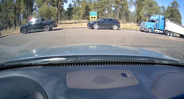
Just after 11, we reached Young Highway’s northern end, where there was a third construction zone. And there is yet another one before Heber! Doing the math, I knew there was no way I would be able to start my General Crook Trail hike in remote Phoenix Park before 12:30 p.m. Too late. I decided to bail.