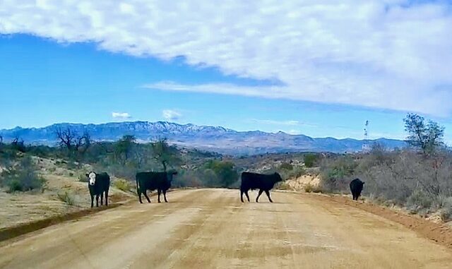
Klondyke Road is a quality dirt road, from US-70, between Fort Thomas and Pima, 40 miles to the east trailhead of Aravaipa Canyon. This is an update of my older Klondyke Road video, which is shakey, and only shows part of the drive. This video shows the whole thing.
Along the way, Klondyke Road passes by the Red Knolls, parallels Tripp and Underwood Wash, crosses Cottonwood Canyon and Crazy Horse Wash, then turns northwest, paralleling Aravaipa Creek to the Klondyke Cemetery & ghost town at Fourmile Canyon. (The general store is occasionally open.) 🏚
Continuing northwest, Klondyke Road passes Spring Canyon and Laurel Canyon, to The Nature Conservancy’s Cobra Ranch at Stowe Gulch. Then the Aravaipa Creek crossings begin. Depending on flow, six of the crossings will likely be wet, to some degree.

A stock SUV, such as mine, had no problems with Aravaipa Creek, even with increased flow. Cars not recommended past Cobra Ranch. (The road is fine to the trailhead, it’s the water crossings that are the issue.)
Past Aravaipa Canyon’s east trailhead, it is another three miles — high clearance, non-technical — to the Turkey Creek Cliff Dwelling and trailhead.
Also check out the Salazar Family Church & Cemetery and my Aravaipa Canyon Thru-Hike! 👍
GPS File: Klondyke_Road_to_Aravaipa_Canyon
Distance: 40.29 mi.
AEG: 2573 ft.
Driving Time: 75-90 minutes
Driving Klondyke Road to Aravaipa Canyon
Driving Klondyke Road to Aravaipa Canyon from Preston McMurry on Vimeo.
