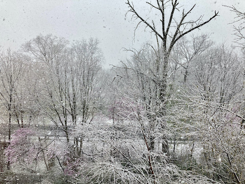
I should have done this longer hike on Friday, instead of Four Locks to Ft. Frederick, which is only ⅓ the distance. My thinking was that if I got a blister on the long hike, I would not miss out on the shorter hike. I knew there would be inclement weather most of Tuesday, but it just did not click to switch the order. Instead, I planned to speed hike the C&O Canal from McMahon’s Mill to Williamsport.
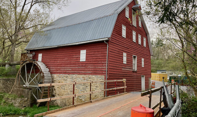
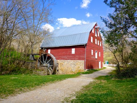
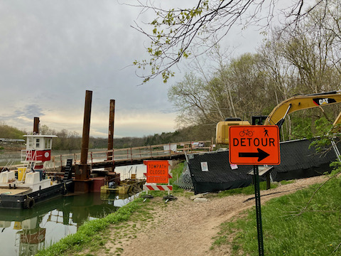
Approaching McMahon’s Mill on Avis Mill Rd., there was a pickup in front of me. He entered a “do not enter” construction zone, so I followed. I figured passing through it would be okay. Turns out, he was the first guy to show up on the construction site. He was very kind to this clueless tourist, letting me know the mile of C&O Canal towpath west of McMahon’s Mill to Canal Lock 42 was closed, but the portion south along Big Slackwater could be accessed by a nearby detour.
After some more vehicular milling about, I walked the detour down to Big Slackwater. The construction reminded me of the satellite view of Williamsport, showing the work on Cushwa Basin from a few years ago. Back at my rental, I decided to bail, as I am a completist, and the missing mile would bother me. Plus, I was unsure where the C&O Canal towpath resumed at the other end of Big Slackwater.


McMahon’s Mill Directions: From Hagerstown, or points east, take exit 28 off I-70 at Downsville Pike MD-632. Head 5.5 miles south, through the hamlet of Downsville. Turn right on Dellinger Rd. In 0.5 miles, take the first left onto Avis Mill Rd. The trailhead is in 0.7 miles.
Williamsport Visitor Center Directions: From I-81, in Maryland, take exit 1 north onto Conococheague St. In 1.0 miles, turn left on US-11 / Potomac St. At the bottom of Potomac St., where it bends left, instead continue straight into the visitor center parking lot, which is marked by the old-time red brick building with the Cushwa’s sign.
Distance: 0.40 mi.
AEG: 90 ft.
Time: 15m
