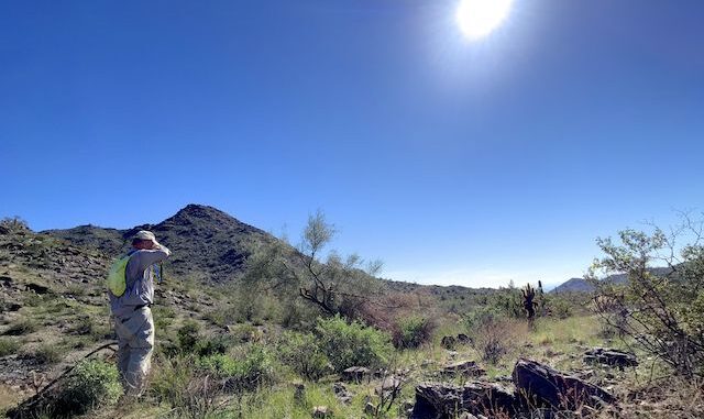
Today was the first “locals hike” of my winter hiking program. I plan my hikes six months in advance. If not yet a detailed route for each hike, then at least where I will be hiking each week, hoping to maximize my chances of flowers, and other highlights. I plan like most folks breathe.
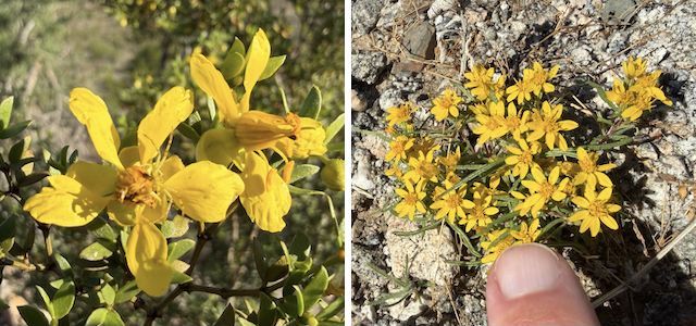
Today’s plan was to hike 0.2 miles west on Mountain Wash Trail, to Turnbuckle Trail. But instead of continuing on Turnbuckle, turn south onto an old jeep trail. Follow that anonymous jeep trail southwest, then north-northwest, until I reached Chuckwalla Trail at 2.0 miles. From Chuckwalla, I would head up canyon on a road of decreasing quality, and increasing slope, for a mile. Just to see what I might find.
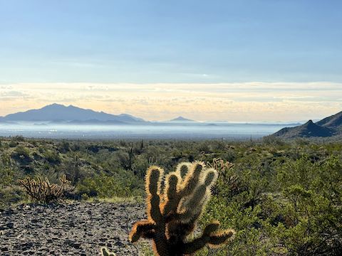
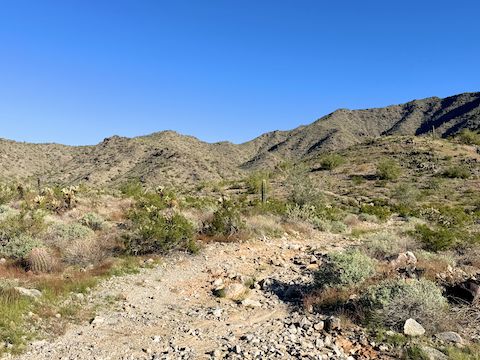
At 2.3 miles, the jeep trail split: I went right / northeast. (Though I checked out left / northwest on my way back down.) The jeep trail pitches up, every ⅒th of a mile steeper than the one before: 11% slope, 14%, 21%, and finally a very healthy 27%. The jeep trail also got steadily rockier. The final ⅒th also had pea gravel over more solid rock. I took several breathers.
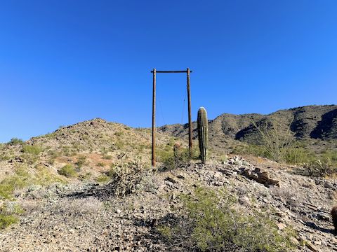
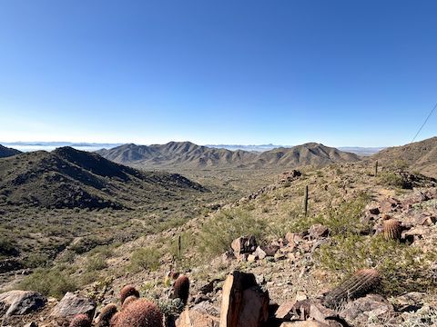
Using modern comms, I texted my wife a message, letting her know I was half done. Forced to use “SOS” mode, due to lack of Verizon bars, I assured her I was okay. I spoke too soon. I took my time heading down the 27% slope. Without hiking poles, the footing was tricky. Left foot slipped out, I rotated left, fell on my back / right, and jarred head & neck when I landed. Thankfully did not smash head, but gouged hand. Also tweaked my groin. And that is why descending is more difficult than climbing.
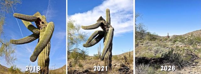
After paying my respects to the fallen saguaro, I limped back along Granite Falls Trail, Turnbuckle Trail, and Mountain Wash Trail to the Skyline Regional Park trailhead. If you aren’t limping, it’s easy to make time on those trails. I finished just after 11:30 a.m. Next time I’m out Buckeye way, I’ll have to check out Skyline’s new Beacon Ridge Trail.
Skyline Regional Park Trailhead: From Phoenix, head west on I-10. Take Exit 117 onto north Watson Rd. Drive 2.0 miles to the no fee gate, then another 0.9 miles to the end of the road.
Park Map: Skyline_Regional_Park_Trail_Map (pdf)
GPS File: Javelina_Summit_Skyline_Regional_Park
Distance: 6.11 mi.
AEG: 968 ft.
Time: 2h 43m
Rumble Video
Vimeo Video
Skyline Regional Park Panorama, Buckeye, Arizona from Preston McMurry on Vimeo.
