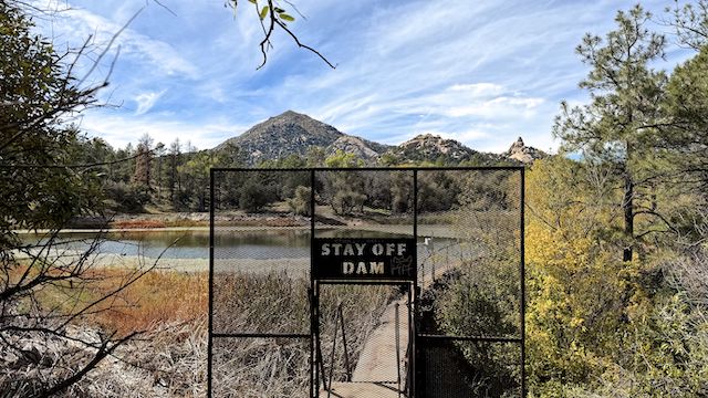
Granite Basin Lake is formed by the drainages of Surprise Spring, Pole Spring, Clark Spring, and Blair Pass. Granite Basin Lake has a boat ramp, and supposedly is 5 acres, but it’s not big enough for a kayak. Below the dam, Mint Wash drains northeast, past Granite Mountain, 2½ miles to Mint Spring. There, Mint Wash turns northwest, ending ~16½ miles later at Las Vegas Ranch on Williamson Valley Wash.
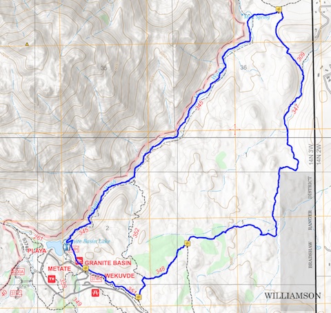
It was a pleasant, partly-cloudy, 50° when we started hiking at 8:50 a.m. After this upcoming weekend’s post-monsoon storms, it will be back down to Phoenix for my winter hiking program. Normally on “away” hikes, I carry a pack, with 3-4 liters of bottled water and electrolytes. Because today was a short hike, I only carried my 1.5L Camelbak, plus one 0.5L bottle in my back pocket.
The official Prescott National Forest trail leaves from the north end of the Granite Basin Lake boat ramp, behind the pit toilet. Instead we headed east on an unofficial trail. Cut off a switchback. Saved ourselves 200 yds.! The first quarter mile is actually on Mint Wash Trail #345. It was slightly rocky. Velvety goldenrod glowed in the morning sun.
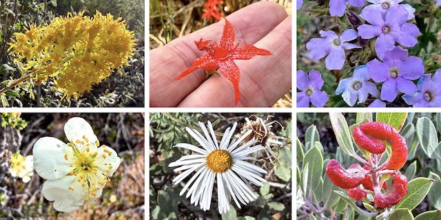
Top Row: velvety goldenrod, skyrocket, southwestern mock vervain.
Bottom Row: Stansbury’s cliffrose, spreading fleabane, manzanita leaf gall aphid.
West Lake Trail #351 is a 1.5 miles, with 120 ft. AEG (accumulated elevation gain). It stretches east from Balancing Rock Trail #349 to the Cayuse Equestrian Trailhead. Prescottstyle and I hiked the middle portion, about a half mile. I spotted skyrocket flowers. The trail surface was mellow enough, I remember thinking I might enjoy biking it. After 0.7 miles hiking, we turned left on Chimbley Water Trail #348.
Chimbley Water Trail #348 starts at West Lake Trail #351. It runs northeast, ending 0.6 miles, and 90 ft. AEG, later at Willow Trail #347. The trail surface was still smooth but — as you can see below — starting to shows signs of v-shaped erosion. Spotted some decent southwest mock vervain flowers. Got a laugh when Prescottstyle couldn’t figure out the latch on a simple tube gate. 😁
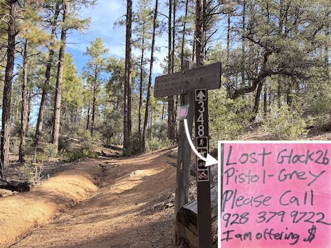
Willow Trail #347 starts at the Katahn Trailhead. It heads roughly north for 6.8 miles, and 525 ft. AEG, ending at Williamson Valley Trailhead. (Heading south is more uphill, gaining 825 ft. AEG.) A sign warned downhill mountain bikes “Courtesy Zone – Reduce Speed”. Prescottstyle and I hiked the middle section of Willow Trail #347. Footing was slipperier due to often more pronounced v-shaped erosion.
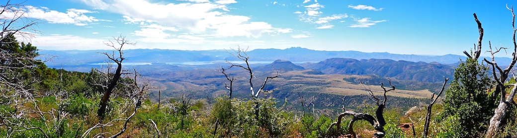
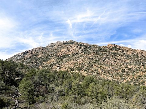
There’s an old corral by Stringfield Spring. (The springbox was dry.) Several Willow Trail #347 washes were wet, but not flowing. A Prescott National Forest fuels crew was doing wildfire mitigation by Levie Ln. We saw the remains of a wild turkey at Chimbley Tank. Climbing to a small saddle above Chimbley Tank, had great views across Williamson Valley to the San Francisco Peaks.
Four miles into our hike, Prescottstyle and I reached a barbed wire fence with a tube gate and a rollover gate. Just beyond the fence, the trail splits: Willow Trail #347 right (north) to Williamson Valley Trailhead, Mint Wash Trail #345 left (northwest) to Tin Trough Springs Trail #308. On the near (east) side of the fence is a trail triangle. Just make sure you turn left before the fence. That way you turn southwest, taking Mint Wash Trail #345 back to Granite Basin Lake.
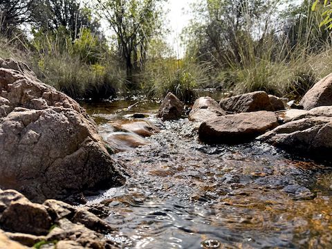
Mint Wash Trail #345 was this loop’s highlight. It gains 325 ft. AEG in 2.7 miles. The trail crosses the creek at least a half dozen times. (Not all dry.) The trail had regular spot shade, a variety of flowers, some decent picnic / camping spots, and the day’s most “hikey” trail. Despite a couple of sections with small boulders, we passed two mountain bikes heading down. Not heroes either: Guys our age!
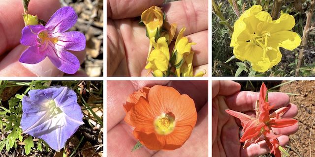
Top Row: toadflax penstemon, dalmatian toadflax, Hooker’s evening primrose.
Bottom Row: ivy-leaved morning glory, Rusby’s globemallow, paintbrush.
Directions: From Courthouse Square in Prescott, head north on Montezuma St., which becomes Whipple St. and then Iron Springs Rd. In 4.8 miles, just after leaving Prescott, on the right is Granite Basin Rd. It’s easy to zip by, so be on the look out. Head north 3.3 miles to the one way loop road. Go counterclockwise. Take the next right to the boat ramp. Park there.
GPS File: Mint_Wash_Loop
Distance: 7.36 miles
AEG: 652 ft.
Time: 3h 12m
Rumble Video
Vimeo Video
Mint Wash Loop, Prescott National Forest from Preston McMurry on Vimeo.
