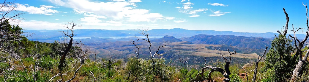
Dutton Hill (el. 7658) is a 400 ft. hill located on FR 231, two miles southwest of Rogers Lake. (For some reason, the National Geodetic Survey refers to Dutton Hill as “Metz Mountain”.) Sliker Hill (el. 7555) is a 200 ft. hill, just a mile mile northwest of Dutton Hill, and a mile south of Camp Navajo. Together, Dutton Hill and Sliker Hill form a single ridgeline. Is Sliker Hill pronounced SLICK-er, or SLY-ker? 🤔
Today’s plan was to hike a loop of Dutton Hill and Sliker Hill, staying mostly inside the treeline, and mostly off-trail. (Usually an easy task in northern Arizona’s ponderosa pine forests.) I suspect most folks take Dutton Hill head-on, which is steeper (13% slope), whereas I planned to approach it from the southwest, along the ridgeline (a mellower 8% slope).
I started hiking at 9:00 a.m. It was cloudy, windy, and there was a 30% chance of midday rain. I hiked south on busy FR 231 for 0.7 miles, almost to Mill Park. A quarter mile south of FR 231D, in the middle of a small prairie, there’s a couple of noticeable stumps. I turned right (west), towards them, heading 30 ft. up, to the southeast end of the Dutton Hill ridgeline.
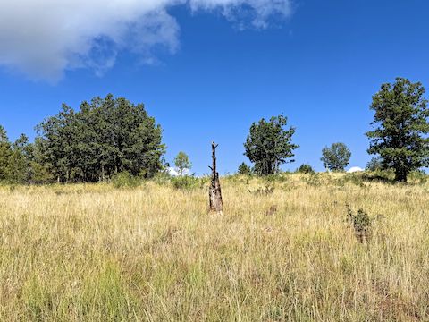
I followed Dutton Hill’s mostly grassy highline, winding between scrub oak, juniper, small pine, and rocky outcroppings. Watch out for non-catclaw prickler vine patches. Along the way, I found Yavapai County Flood Control District Metz Mountain precipitation gauge #54430. In Coconino County, for advance warning. One gapless barbed-wire fence was an easy low crawl.
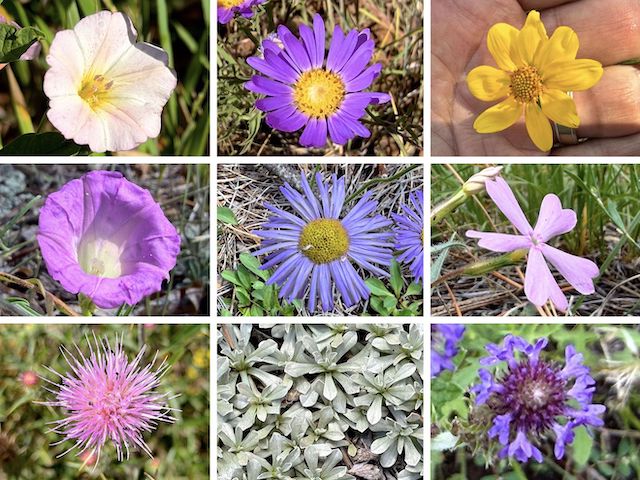
Top Row: field bindweed, alpine leafybract aster, showy goldeneye (steadied against the wind).
Middle Row: Huachuca Mountain morning glory, showy fleabane, showy phlox.
Bottom Row: Wheeler’s thistle, small-leaf pussytoes, MacDougal verbena (w/ crappy iPhone 17 Pro focus).
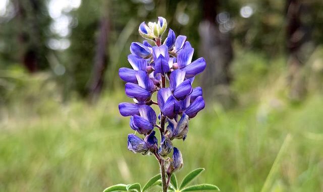
I also shot velvety goldenrod, paintbrush, showy fleabane, yarrow, spreading fleabane, wandbloom penstemon, broom-like ragwort, white prairie aster, and one unknown species. I did not shoot red and yellow pea, pygmy bluet, or American vetch. Besides the MacDougal verbena, my crappy iPhone 17 Pro blurred skyrocket, dalmatian toadflax, and pineywoods geranium. (More high country flowers.)
The blur on Colorado four o’clock was horrendous: When I thought I had focus, center of frame, the wind would move background objects, and the crappy iPhone 17 Pro triple-lens would rapidly switch from one to another, creating a flutter effect in the viewfinder. I’ve never experienced anything like it! How the iPhone 17 Pro passed quality control testing, I’ll never know. “Apple: It just works!” My ass.
I don’t remember what views the Dutton Hill summit had, other than a good look ~15 miles to the antenna farm on Mount Elden. I was distracted searching for USGS markers. I easily found Reference Mark No. 2, the Benchmark, and a Visible Area Map Point (the latter two erroneously marked as “Metz Mountain”.) I spent at least 20 minutes searching for Reference Mark No. 1, but no bueno.
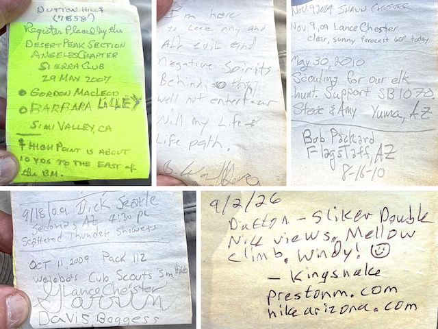
After perusing the Dutton Hill summit log, and eating half my Maverick chorizo burrito, I continued northwest, towards Sliker Hill. The route descends 250 ft. in 0.5 mi., but felt more mellow than a 9.5% slope. At the bottom I crossed an old jeep trail. I then crossed a mostly shady mile-wide saddle, and a second jeep trail. Both unnumbered jeep trails connect west to FR 526D, and east to FR 231D.
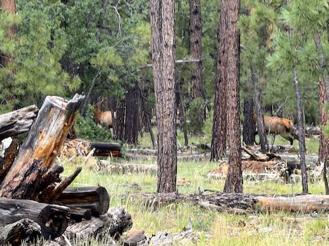
There is a third unnumbered jeep trail on the northwest end of the saddle. I thought it went to the summit of Sliker Hill. Nope. Instead, the final 100 ft. are off-trail, through forest. As I approached the summit, I felt my first rain drop. Ironically, though its summit has more surrounding forest, the Sliker Hill summit itself is more open, with better views than Dutton Hill.
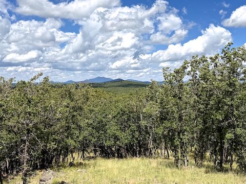
Northeast ~16 miles, I could see Schultz Peak. Northwest 6 miles, on Camp Navajo, Volunteer Mountain. Behind Volunteer Mountain were Sitgreaves Mountain and, I believe, Government Hill. (Both ~16 miles.) I used that view for my video thumbnail (below). West-northwest ~20 miles, standing alone, was Bill Williams Mountain. Southwest, I could see heavy rain over Sycamore Canyon. I decided to bail. 🌧
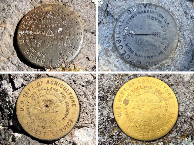
Bottom Row: Dutton Hill and Sliker Hill visible area map points. Sliker Hill had no other marks.
I had planned to descend off the mild west slope of Sliker Hill, then mosey back through the forest. But with the rain coming, I went down Sliker Hill’s steep (16.2%) east slope. I made it down in eight minutes, had a bit of confusion which forest road to take (my GPS mapset is sometimes iffy). I picked up FR 526C and, trying to beat the rain, made haste.
I made it almost to FR 231D, when it starting raining. Then it poured for three minutes, lightened for a minute, and … that was it. That “Metz Mountain” rain gauge I mentioned above, recorded .12″ rain in five minutes — a very healthy rate of 1.44″ / hour. I slipped and slided along FR 321D, southeast for a mile to a cattle grate, then followed the fenceline east back to my parking spot. Fun hike! 👍

Trailhead Directions: From Phoenix, head north on I-17 until it turns into a city street in Flagstaff. Turn left at the first stop light, onto Forest Meadows St. Turn right at the second light, onto Woodlands Village Blvd. In 0.7 miles, turn left on Route 66. In 1.2 miles, turn left onto Woody Mountain Rd. It starts out paved, but becomes the car-drivable dirt of FR 231. In 8.7 miles, park at the pullout on the left.
GPS File: Dutton_Hill-Sliker_Hill
Distance: 8.04 miles
AEG: 829 ft.
Time: 3h 38m
Rumble Video
Vimeo Video
Hiking Dutton Hill & Sliker Hill, Coconino National Forest from Preston McMurry on Vimeo.
