Last week, I hiked the 12th segment of the General Crook Trail., from FR 487 to the Holcomb Homestead at Phoenix Park (a small prairie on the Mogollon Rim). The first mile of the drive out, on FR 125 was rough, so before I did the next segment, I wanted to scout some of the roads, to find the best route to the pickup point for my shuttle driving wife. And have a picnic somewhere along the way.
On the drive from Heber-Overgaard to Phoenix Park, FR 51 1.6 miles south to FR 124, FR 124 2.1 miles southeast to FR 125, and the first 1.5 miles south on FR 125 were as I remembered: Pretty typical car-drivable dirt road. The next 1.3 miles of FR 125 around the south end of Phoenix Park were not as bad as my first impression, but still rough, and not car-drivable. (I have a stock Acura RDX SUV.)

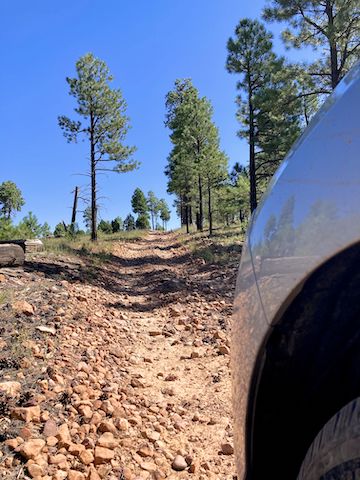
North of Holcomb Homestead, the road changes name to FR 166 and gets rougher, with loose rocks up to 12″ and slippery sand. After 1.5 miles, I turned around. FR 166 is a part of the General Crook Trail I was thinking of mountain biking, but screw that: I’ll hike it. We doubled back up FR 125.
Back at FR 124, we continued east. I hadn’t seen another vehicle yet. Around Hess Tank, I stopped to check my GPS. There was enough room on my left to pass. I heard a whiny engine coming up fast. I started to move further right, only to slam on my brakes when a Kenny Brack-wannabe decided to pass on the right. Asshole. 🖕😠🖕
Between FR 125 and FR 146, FR 124 was a car-drivable road. Though rocky in spots, the rocks are more like cobblestones, pounded solidly into the road, not loose on the surface. Though FR 124 continues five miles northeast to AZ-260, we instead turned north on FR 146.
As befitting it’s higher-level topo map symbol, FR 146 was the best dirt road of all. Easily car-drivable. After 3.5 miles on FR 146, we arrived at AZ-260. A mile and a half east on AZ-260 we turned onto the north end of FR 124, where I plan on ending my penultimate General Crook Trail segment. There was nice shade for my wife to park in. 👍
Then we drove four miles west on AZ-260, turning south on dirt FR 124A. After a quarter mile, by the Blevins Ranch gate, I bailed. FR 124A might get better, but I didn’t want to find out. If you are unaware, the more numbers and letters a forest road has, the lower its quality. (Usually.)

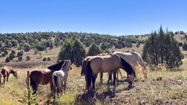
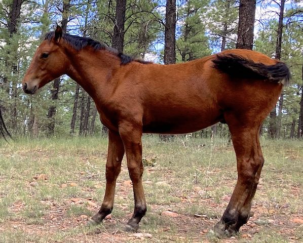
Back on AZ-260, we drove a mile west, almost to Overgaard, before turning south on FR 144. It was another mellow, car-drivable dirt road. Quite a few people RV camping along FR 144, but thankfully no OHV hotshots. We pulled off FR 144 next to Pierce Wash, to have our picnic. A herd of wild horses was 50 yds. away. Usually, they shy away if people get any closer. Not these guys!
Watch the video below. 😳
After that “Close Encounter of the Equine Kind”, we finished up FR 144, then doubled back on FR 124 and FR 51 into Heber-Overgaard.
