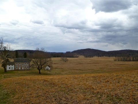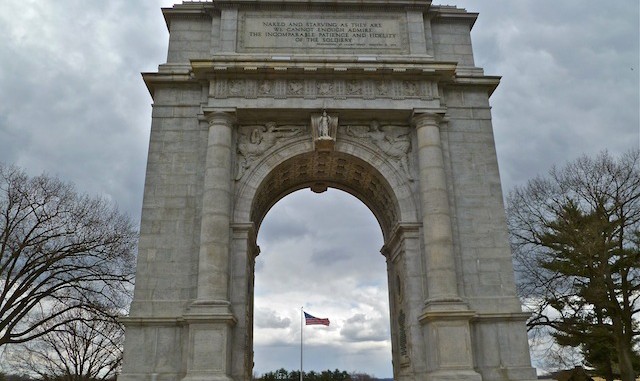
Terrain dictates battles. You can’t understand the battle unless you understand the terrain. And you can’t understand the terrain from the comfort of your car.
You’ve all heard of Valley Forge: This is the walking tour.
I was last here three years ago. My wife and I were in Philadelphia, visiting my aunt and cousins, so I decided to stop by Valley Forge in order to 1) get some exercise and 2) document it for hike description purposes. It was cold, and I even briefly got snowed on (the grainy pellet kind) for a minute by the Unknown Soldier monument. I’m surprised I did not see any deer, since they are such a problem, even closer to the city.
I started my tour at the small, but excellent, Visitor Center / Museum. It has hundreds of artifacts from the winter of 1777, and other Revolutionary War battles and years.
Exiting the Visitor Center, I curled south on the bike/walk path to the one-way Outer Line Rd., which is named after the outer line of defenses. The rest of my tour pretty much followed Outer Line Rd.
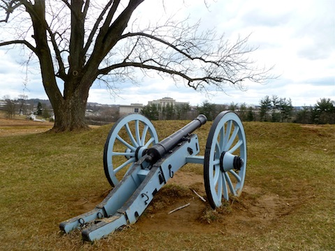
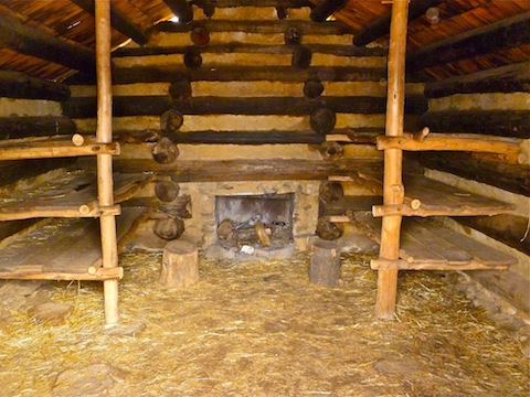
Around the first pull off lot, there was a cannon, a rebuilt redoubt, and several reconstructed cabins. This area was occupied by DeKalb’s Division. Numerous state and unit memorials follow all along the loop.
At 1.4 miles, I reached the Memorial Arch, the overall memorial to the defenders of Valley Forge. I continued south on the path to the New Hampshire cabins, then west through the Pennsylvania Columns to Wayne’s Woods, where there is a statue of “Mad” Anthony Wayne.
I curled north to Baptist Rd. I went straight across to where you see the “Do not enter: falling limbs” signs. (It appears they refer to the area north of the dirt path, not the path itself.) I continued southwest on the dirt path until I crossed a stone culvert. I climbed a few feet up the culvert, where I picked up Inner Line Dr., which I followed for a quarter mile until I saw a dirt path on my left. I turned left, climbing to the open meadow that is the “peak” of Mount Joy.
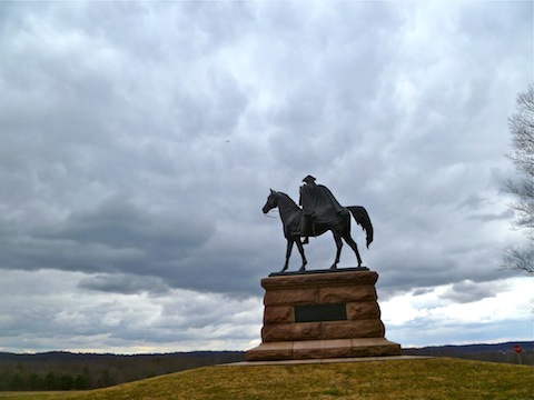
I did not see anything historical on Mount Joy, but it was an opportunity to get onto dirt and into woods, away from path walking. I crossed the meadow, following the dirt path until I arrived at a trail intersection. I turned right across the bridge, and the paved road, descending northeast to Inner Line Dr. I reconnected with the paved path, which I followed north, past the Artillery Park, to the von Steuben statue.
I continued east on the paved bike/walk path, paralleling Valley Forge Rd., to the Washington Memorial Chapel, an active Episcopal church, which has its own tours and gift shop. I passed the African-American monument, and the asbestos-polluted woods — unlike the “falling trees” signs, this warning is best heeded — before turning south for a few hundred yards back to the Visitor Center.
GPS File: Valley_Forge
Distance: 7.42 mi.
AEG: 816 ft.
Time: 2h 18m
