

Sunnyslope Murder Tour: Index
These are the homicides that have occured since I moved to Sunnyslope in September, 2008. Or, in the case of Sunnyslope serial killing “Zombie Hunter” Bryan […]
These are the homicides that have occured since I moved to Sunnyslope in September, 2008. Or, in the case of Sunnyslope serial killing “Zombie Hunter” Bryan […]
Any given Old West trail, rather than being a singular track — like, say, Interstate 40 — was a web of routes heading in the […]
Personally, I avoid doing the same hike a second time. Heck, the first sixty times I hiked the desert behind my house, I only repeated […]
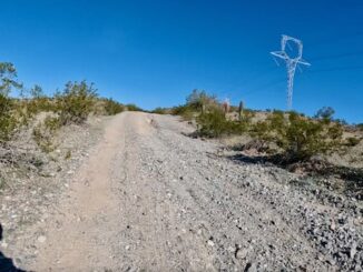
Interstate 8 After exploring the Agua Caliente ghost town, we drove east from Dateland, towards Gila Bend, picking up the frontage road near Theba. (Because stopping […]

I ride my bicycle along some portion of the Arizona Canal — aka The Homeless Highway — every week. Usually I stick around Sunnyslope, but […]
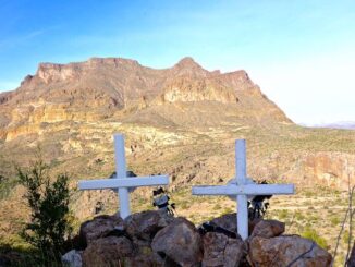
Arizona has at least six Black Mountains, including two in Pima County. Today’s Black Mountain is in Cave Creek. (Technically, the summit is in Carefree, […]
Cave Creek Trail #4, per the National Forest Service, “passes through the Arizona Upland Phase of the Sonoran Desert and through riparian areas of sycamore […]

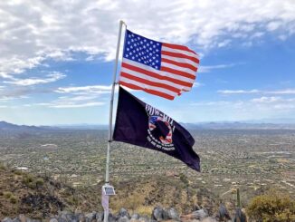
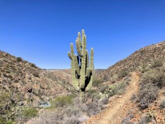
Counter-clockwise from Bronco Trailhead, this is the 26th segment of the Maricopa Trail. My goal the past five years has been to hike or bike […]
Maricopa Trail is a 315 mile trail system in Maricopa County. The 315 miles is the total, including access routes. The actual loop itself, around […]

Despite its name, McDowell Mountain Regional Park is largely in the flats, washes and foothills immediately east of the McDowell Mountains. The trails tend to be […]
Copyright © 2026 Preston V. McMurry III | WordPress Theme by MH Themes