
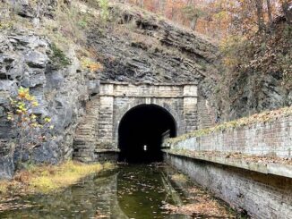
Paw Paw Tunnel
Eighteen months ago I hiked the Chesapeake & Ohio Canal towpath from Bonds Landing to Paw Paw Campground. But Paw Paw Tunnel was closed due […]
Eighteen months ago I hiked the Chesapeake & Ohio Canal towpath from Bonds Landing to Paw Paw Campground. But Paw Paw Tunnel was closed due […]
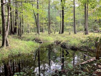
I had done a few hikes, and one bike, along the Chesapeake & Ohio Canal Tow Path prior to 2019, but that is the year […]
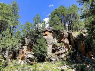
Heading east from Dewey, this is the 13th segment of General Crook Trail. I believe the original General Crook Trail continues along Rim Road to Show […]
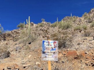
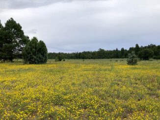
The Prescott Circle Trail is a 54-mile mostly dirt loop around the city of Prescott. The “Other” PCT is a multiuse trail, which means hikers, […]

I planned to hike the 12th segment of the General Crook Trail. I knew AZ-87 had landslide clearance going on north of Sunflower from 8:00 p.m. […]
My pal Baron, his wife, and their two dogs, were camping by the Naval Observatory on Anderson Mesa. So, I drove up to Flagstaff for this […]
This weekend was the third reunion of my old Army outfit, TACCP, Alpha Company, 50th Signal Battalion, 35th Signal Brigade … AIRBORNE! The first reunion […]
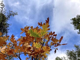
Heading east from Dewey, this is the 12th segment of General Crook Trail. The General Crook Trail is named after General George Crook, who surveyed a […]
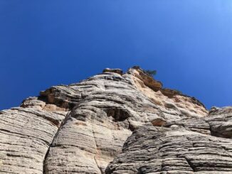
I haven’t done a canyon crawl in Apache-Sitgreaves National Forest since I sliced my arm in West Chevelon Canyon fourteen months ago. Sure, I did a […]
Copyright © 2026 Preston V. McMurry III | WordPress Theme by MH Themes