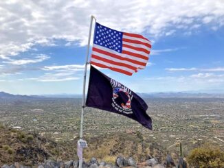
Black Mountain
Arizona has at least six Black Mountains, including two in Pima County. Today’s Black Mountain is in Cave Creek. (Technically, the summit is in Carefree, […]

Arizona has at least six Black Mountains, including two in Pima County. Today’s Black Mountain is in Cave Creek. (Technically, the summit is in Carefree, […]
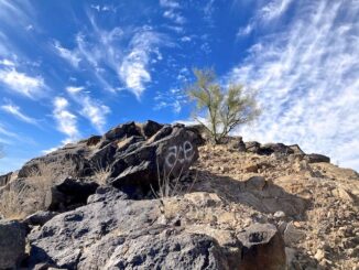
Ludden Mountain is a free-standing, double-peaked, formation in far northwest Phoenix. Part of the Deem Hills, Ludden Mountain was named for area rancher Homer Charles […]
Before we look at some older Sunnyslope homicides, we had five — that I am aware of — in 2024: Feb. 19: Tiana Hodges shot […]

These are the homicides that have occured since I moved to Sunnyslope in September, 2008. Or, in the case of Sunnyslope serial killing “Zombie Hunter” Bryan […]
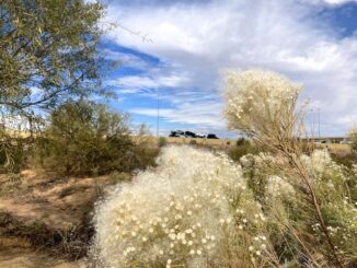
Reach 11 Recreation Area is located in north Phoenix. From Cave Creek Rd., Reach 11 stretches seven miles east to Scottsdale Rd., and a less than a […]
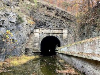
Eighteen months ago I hiked the Chesapeake & Ohio Canal towpath from Bonds Landing to Paw Paw Campground. But Paw Paw Tunnel was closed due […]
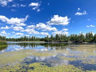
White Horse Lake is a dammed 35-acre lake, located 13 miles southeast Williams, on the rim of Sycamore Canyon. White Horse Lake Campground has 94 […]
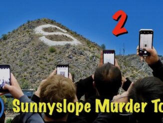
I moved to Sunnyslope in 2008. Sunnyslope is actually improvement from when I first moved to Arizona in 1984, living out of the back of […]
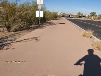
Doing one of my regular bike loops, through Dreamy Draw, in the Phoenix Mountains Preserve. Zipping down the bike path towards AZ-51 / Piestewa Freeway, […]
Copyright © 2025 Preston V. McMurry III | WordPress Theme by MH Themes