
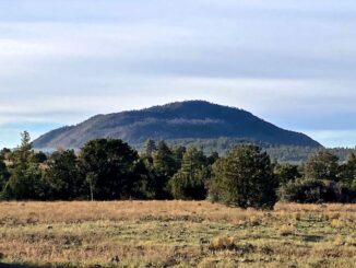
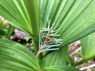
Apache Maid Mountain
I started my winter, lower-elevation, hiking program last week at Peoria Sunrise Mountain Preserve. When I finished around 1 p.m., it was a toasty 87℉. […]
I started my winter, lower-elevation, hiking program last week at Peoria Sunrise Mountain Preserve. When I finished around 1 p.m., it was a toasty 87℉. […]
McClintock Draw is a small canyon on the Mogollon Rim, between McClintock Ridge and Dane Ridge. McClintock Draw extends for only 2¾ miles, before emptying […]
Quien Sabe Draw is a small canyon on the Mogollon Rim, between Turkey Pen Ridge and Fred Haught Ridge. Only 2½ miles long, Quien Sabe […]
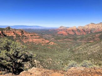
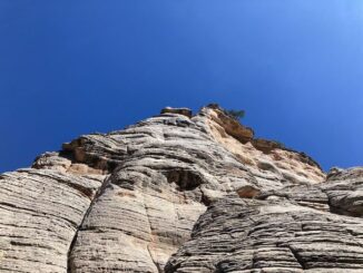
Munds Mountain Trail #77 is one of those hikes I’ve had on my list years, yet never quite got around to. If I do an […]
Sandstone Canyon is a short canyon that starts at Sandstone Tank, and ends only 2¼ miles later at West Leonard Canyon. Sandstone Canyon is dead […]

In 1871, General George Crook surveyed a supply road west from Fort Apache, Arizona, across the Mogollon Rim to Camp Verde, then on to Fort […]
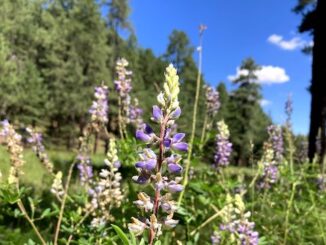
My pal Baron, his wife, and their two dogs, were camping by the Naval Observatory on Anderson Mesa. So, I drove up to Flagstaff for this […]
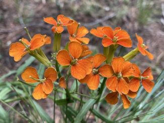
I was going to hike hike Porcupine Ridge, near Woods Canyon, at the east end of the Mogollon Rim, but AZ-87 to Payson was closed down due […]
Yeager Canyon is a 14-mile long canyon, located on the Mogollon Rim between Dane Ridge and Buck Springs Ridge. Yeager Canyon starts on Rim Rd. […]
Miller Canyon flows north from the Mogollon Rim at Hi View Point, 13 miles to East Clear Creek, just upstream from C.C. Cragin Reservoir. Miller […]
Copyright © 2026 Preston V. McMurry III | WordPress Theme by MH Themes