General Crook Trail Index
In 1871, General George Crook surveyed a supply road west from Fort Apache, Arizona, across the Mogollon Rim to Camp Verde, then on to Fort […]

In 1871, General George Crook surveyed a supply road west from Fort Apache, Arizona, across the Mogollon Rim to Camp Verde, then on to Fort […]
My pal Baron, his wife, and their two dogs, were camping by the Naval Observatory on Anderson Mesa. So, I drove up to Flagstaff for this […]
I haven’t done a canyon crawl in Apache-Sitgreaves National Forest since I sliced my arm in West Chevelon Canyon fourteen months ago. Sure, I did a […]
White Horse Lake is a dammed 35-acre lake, located 13 miles southeast Williams, on the rim of Sycamore Canyon. White Horse Lake Campground has 94 […]
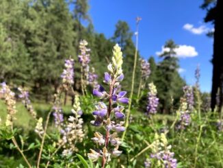
I was going to hike hike Porcupine Ridge, near Woods Canyon, at the east end of the Mogollon Rim, but AZ-87 to Payson was closed down due […]
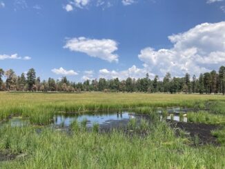
Heading east from Dewey, this is the 10th segment of General Crook Trail. The original General Crook Trail, surveyed by General George Crook in 1871, was […]
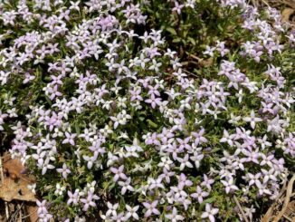
Heading east from Dewey, this is the 9th segment of General Crook Trail. In 1871, General George Crook surveyed a supply road west from Fort Apache, […]
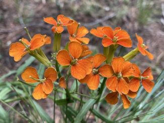
Yeager Canyon is a 14-mile long canyon, located on the Mogollon Rim between Dane Ridge and Buck Springs Ridge. Yeager Canyon starts on Rim Rd. […]
![Confusion was the theme of the day! Sign reads [Promontory "V" Tree]. Supposed location of V62, but etched as "V63". Didn't find any marking on any of the four adjacent large trees -- one broke near base -- and I scanned them 360° all the way up. (In case the mark gained height with tree growth.)](https://prestonm.com/wp-content/uploads/2024/06/IMG_5955-326x245.jpg)
Heading east from Dewey, this is the second part of the 8th segment of General Crook Trail. The General Crook Trail is named after General George […]
Miller Canyon flows north from the Mogollon Rim at Hi View Point, 13 miles to East Clear Creek, just upstream from C.C. Cragin Reservoir. Miller […]
Copyright © 2025 Preston V. McMurry III | WordPress Theme by MH Themes