
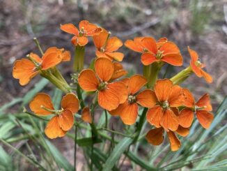
Ludden Mountain
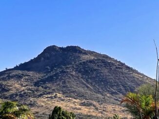
Ludden Mountain is a double-peaked formation in far northwest Phoenix. The northern false summit is 2,043 ft., while the southern true summit is 2,197 ft. […]
Ludden Mountain is a double-peaked formation in far northwest Phoenix. The northern false summit is 2,043 ft., while the southern true summit is 2,197 ft. […]
In the Army, a “police call” is when you pick up garbage around your “AO” (area of operations, usually a barracks or motor pool). When […]
McClintock Draw is a small canyon on the Mogollon Rim, between McClintock Ridge and Dane Ridge. McClintock Draw extends for only 2¾ miles, before emptying […]
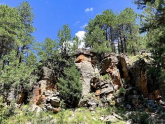
Quien Sabe Draw is a small canyon on the Mogollon Rim, between Turkey Pen Ridge and Fred Haught Ridge. Only 2½ miles long, Quien Sabe […]
Sandstone Canyon is a short canyon that starts at Sandstone Tank, and ends only 2¼ miles later at West Leonard Canyon. Sandstone Canyon is dead […]
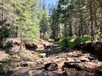
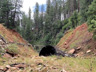
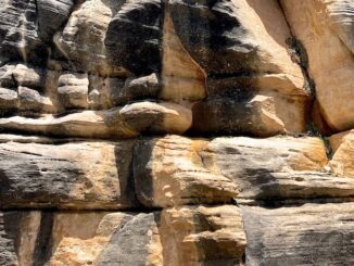
Today’s Mogollon Rim canyon crawl is down an unnamed canyon. Let’s call it “Porcupine Canyon”, after Porcupine Ridge, which forms its west flank. After exiting […]
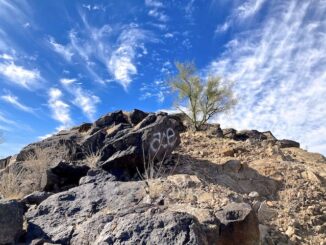
Ludden Mountain is a free-standing, double-peaked, formation in far northwest Phoenix. Part of the Deem Hills, Ludden Mountain was named for area rancher Homer Charles […]
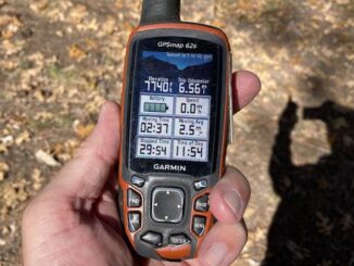
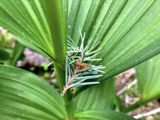
I haven’t done a canyon crawl in Apache-Sitgreaves National Forest since I sliced my arm in West Chevelon Canyon fourteen months ago. Sure, I did a […]
Yeager Canyon is a 14-mile long canyon, located on the Mogollon Rim between Dane Ridge and Buck Springs Ridge. Yeager Canyon starts on Rim Rd. […]
Miller Canyon flows north from the Mogollon Rim at Hi View Point, 13 miles to East Clear Creek, just upstream from C.C. Cragin Reservoir. Miller […]
Copyright © 2026 Preston V. McMurry III | WordPress Theme by MH Themes