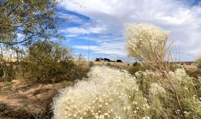
Reach 11 Recreation Area is located in north Phoenix. From Cave Creek Rd., Reach 11 stretches seven miles east to Scottsdale Rd., and a less than a half mile north from the CAP Canal (Central Arizona Project), not quite to Mayo Blvd. There are underpasses / tunnels at Deer Valley Rd., the Loop 101 Freeway, the Piestewa Freeway, and 56th St. Heavily trafficked Tatum Blvd. has no protected crossing, essentially cutting Reach 11 in half. Unless you want to play Frogger. 🐸
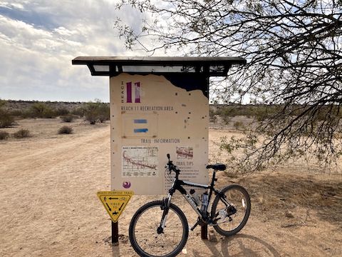
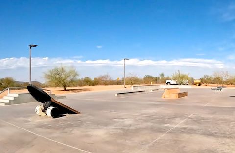
Reach 11 Recreation Area’s 1,500 acres includes eighteen soccer fields, two baseball fields, two t-ball fields, and the Arizona Horse Lovers Park. Not included in those City of Phoenix official numbers are two more soccer fields, a dog park and a skate park. All of it west of Tatum Blvd. The sports fields have toilets and tons of paved parking. There are dirt trailheads on Cave Creek Rd., and both sides of Tatum Blvd. Nothing on 56th St. or Scottsdale Rd.
I originally considered biking Reach 11 Recreation Area end-to-end. Because of Tatum Blvd., I decided to only bike the west half of the park. Well, an eight mile loop isn’t much on mild terrain, so I planned to do two laps. As a bonus, I could do one GoPro camera angle on the first loop (handlebar, pointing right) and another on the second (chest, pointing ahead). Check out the video below! 📽
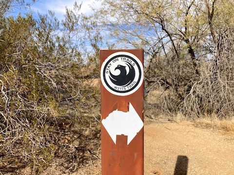
Reach 11 Recreation Area has a web of mellow dirt trails. Some apparently even have names. The trail that runs along the bottom of the CAP Canal embankment is the backbone of the park. (The trail is designated W211S, or E211S, depending on which side of Tatum Blvd. you are on.)
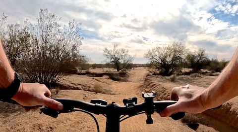
Reach 11 Recreation Area was cool, cloudy and breezy — even at 1 p.m. Basically, I took the northern trails west, then southern W211S Trail back east to Tatum Blvd. No one playing sports at any of the fields. No one on the side trails. Two dog walkers, two electric “bikes”, and two hobos on W211S.
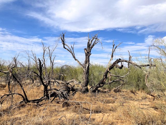
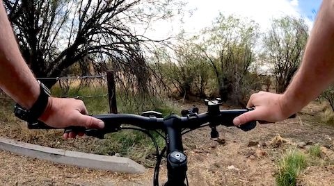
Trailhead Directions: There are two trailheads on Tatum Blvd., just north of the CAP Aqueduct, between Union Hills Dr. and the Loop 101 freeway: This is the one on the west side of Tatum Blvd. The trailhead on the other side accesses the east end of Reach 11 Recreation Area. There is no tunnel under heavily-trafficked Tatum Blvd., which also has guardrails, so making a mad dash across is … dangerous. Pick one side or the other.
GPS File: Reach_11_Recreation_Area
Distance: 16.55 mi.
AEG: 164 ft.
Time: 1h 57m
Rumble Video
Vimeo Video
Biking Reach 11, Phoenix from Preston McMurry on Vimeo.
