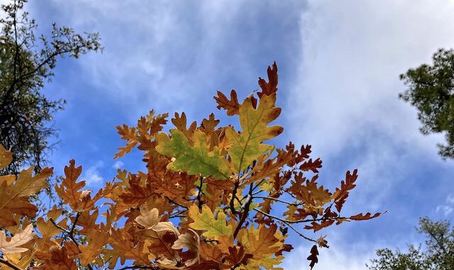
The Prescott Circle Trail is a 54-mile mostly dirt loop around the city of Prescott. The “Other” PCT is a multiuse trail, which means hikers, trail runners, dog walkers, mountain bikers and even horse riders may enjoy it. But not motorized vehicles.
I originally planned to “close the loop” of the Prescott Circle Trail by hiking from Upper Goldwater Lake to Copper Basin Road, but my hiking buddy Prescottstyle hurt his knee and couldn’t make it. So, I scaled back my hike to only the first half, to White Spar. Then, to spare my wife the shuttle drive, I turned that into a loop via FR 67 / Schoolhouse Gulch. I plan like most people breath. 😆
Since Prescottsyle and I biked the Bean Peaks Gravity Flow Trails back in May, the Prescott National Forest has completed the trailhead, including a two-sitter shitter, so you know longer need to park in the campground. Being new, the pit toilet was clean, but holy hell did it stink!
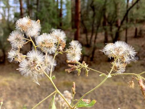
I started hiking at 9:00 a.m. I left home late, so I made tracks up FR 67 / Schoolhouse Gulch. Other than the above, I saw no other flowers. A chainsaw-wielding Forest Service fuels crew was doing mastication. I got a kick out of an animal skull mounted on the front of their OHV. 💀
I made good time, hiking the first mile up FR 67 / Schoolhouse Gulch in only 19 minutes. It helped that I only had a Camelbak, rather than humping my usual pack. But I could feel my lack of recent hiking activity when FR 67 started climbing out of Schoolhouse Gulch (200 ft. in a half mile.) At just under two miles, I turned left (north) onto an unnumbered jeep trail.
The unnumbered jeep trail ended after one-third mile at Goldwater Lakes Trail #396. You could turn left (west), but I’m a completist, so instead I turned right towards the trailhead, which is a half mile east. Fair number of people around the trailhead. Shouldn’t kids be in school on Wednesday?
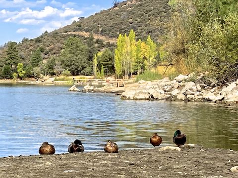
I thought about getting a more westerly view of Upper Goldwater Lake, towards the dam. Instead, after checking my mobile reception — 1 bar Verizon — I started hiking the Prescott Circle Trail in earnest.
Goldwater Lakes Trail #396 has direction and distance signs at every major intersection, occasional carsonite trail number posts and, at the upper Bannon Creek crossing, a map board. I had no idea the lakes have a shore-hugging loop trail. I’ll have to check that out some time.
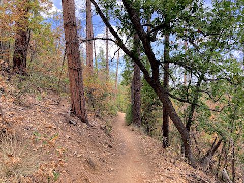
Goldwater Lakes Trail #396 is narrow, very twisty, and slighty off-camber. I found the skid mark in the duff where I crashed my mountain bike five months ago. But Goldwater Lakes Trail #396 is fine for hiking. A pleasant walk. No flowers though. Not this time of year.
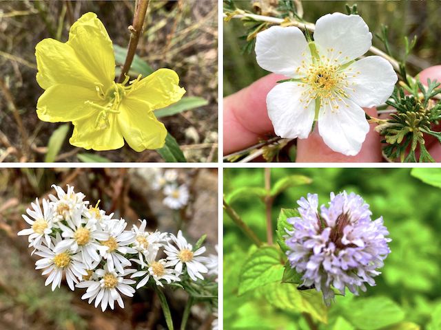
After 1¼ miles, Goldwater Lakes Trail #396 descends 360 ft. to lower Bannon Creek, at 2¾ miles. The creek had no flow, just a stagnant pool. Adjacent to either end of Bannon Creek is where I found the only blooming flowers.
After following Bannon Creek for a quarter mile, Goldwater Lakes Trail #396 climbs 130 ft. in one-third mile to the top of Hill 5935. I caught some sprinkles along the climb, but not enough to cool me off. Really, the weather was ideal. 🌤
The summit of Hill 5935 has nice views of the peaks west of Prescott, but I forgot to take a panorama. I was too focused on the Granite Mountain Hotshots memorial. I had forgotten one was here. It’s changed a lot since 2014.
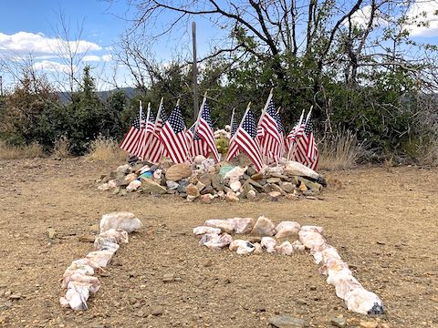
From the memorial, Goldwater Lakes Trail #396 descends 270 ft. in a mile to the White Spar Trailhead, completing this Prescott Circle Trail segment. I felt good. But despite my loop being under eight miles and 1,000 ft. AEG, my quads were sore the next two days. I need to do more more hiking, and fewer bike rides around Sunnyslope.
Afterwards, my wife & I hit up Safeway for weiners & buns, then dropped by La Casa Prescottstyle for a cookout with Paul and his dogs Lily and Olive. 🌭
White Spar Trailhead: From Courthouse Square in Prescott, head south on AZ-89 / Montezuma St. As AZ-89 leaves downtown, it changes names to White Spar Rd. In 2.9 miles, just after entering the Prescot National Forest, turn left into White Spar. Make an immediate right turn to the trailhead. (Left is the campground.)
Goldwater Lake Directions: From Gurley St., near downtown Prescott, turn south on Mount Vernon Ave., better known as the Senator Highway. In 3.0 miles, turn right into the paved Goldwater Lake Park entrance. The entry fee is $3. Parking begins in ⅓ mile at the one-way loop, but if you go halfway around the loop, then make a right and drive another ¼ mile, you will be at the parking spots nearest Goldwater Lake Trail #396.
GPS File: PCT_Goldwater_Lake_to_White_Spar
Distance: 7.89 miles
AEG: 932 ft.
Time: 2h 49m
Rumble Video
Vimeo Video
Prescott Circle Trail: Goldwater Lake to White Spar Trailhead from Preston McMurry on Vimeo.
