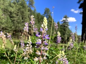
Houston Brothers Trail #171
I was going to hike hike Porcupine Ridge, near Woods Canyon, at the east end of the Mogollon Rim, but AZ-87 to Payson was closed down due […]

I was going to hike hike Porcupine Ridge, near Woods Canyon, at the east end of the Mogollon Rim, but AZ-87 to Payson was closed down due […]
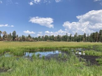
Heading east from Dewey, this is the 10th segment of General Crook Trail. The original General Crook Trail, surveyed by General George Crook in 1871, was […]

My initial motivation for creating short, single bit, dashcam videos was coronavirus emptying the streets. Less material. But I figure I can also use Dashcam […]
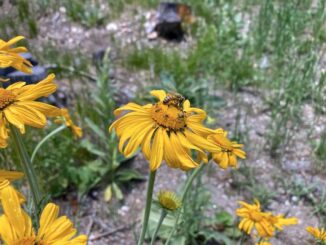
I’m trying to make Mount Lemmon, and its environs, an annual summer hiking trip. Don’t get me wrong: I enjoy hiking the much closer Mogollon Rim, but […]
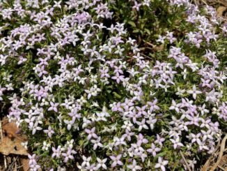
Heading east from Dewey, this is the 9th segment of General Crook Trail. In 1871, General George Crook surveyed a supply road west from Fort Apache, […]
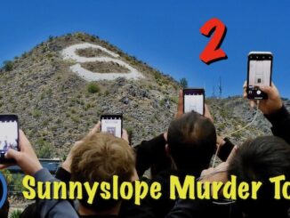
I moved to Sunnyslope in 2008. Sunnyslope is actually improvement from when I first moved to Arizona in 1984, living out of the back of […]
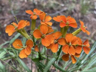
Yeager Canyon is a 14-mile long canyon, located on the Mogollon Rim between Dane Ridge and Buck Springs Ridge. Yeager Canyon starts on Rim Rd. […]
![Confusion was the theme of the day! Sign reads [Promontory "V" Tree]. Supposed location of V62, but etched as "V63". Didn't find any marking on any of the four adjacent large trees -- one broke near base -- and I scanned them 360° all the way up. (In case the mark gained height with tree growth.)](https://prestonm.com/wp-content/uploads/2024/06/IMG_5955-326x245.jpg)
Heading east from Dewey, this is the second part of the 8th segment of General Crook Trail. The General Crook Trail is named after General George […]
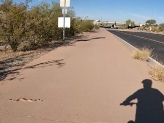
Doing one of my regular bike loops, through Dreamy Draw, in the Phoenix Mountains Preserve. Zipping down the bike path towards AZ-51 / Piestewa Freeway, […]
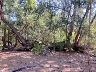
I try to get a hike in everywhere I travel: Connecticut, Scotland, Oklahoma, Belgium, etc. It’s difficult finding trails in Florida, as what isn’t swamp […]
Copyright © 2025 Preston V. McMurry III | WordPress Theme by MH Themes