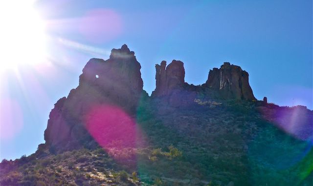
I planned to do this hike back in mid-November, but a couple of miles up the dirt part of Peralta Road, aka Forest Road 77, I got a flat. Normally, my tires should start at 34 pounds, but the left front was well down, like low 20s. I got out,felt all around it, outside, tread and inside. Nothing. “That’s odd,” I thought.
I continued further east, thinking “I’ll just call a tow from the Peralta Trailhead,” but quickly realized that was a suboptimal idea. I turned around. As I drove back, very cautiously, towards US-60, I could see the tire pressure tick down, 18, 17, 16. I probably should have stopped as soon as I got to pavement, at Peralta Trail Elementary School, but I kept heading for the highway. I barely made it. The left front was on the rim. 0 pounds.
A quick call to AAA, then a visit to Discount Tire, and everything was fine. My hike day, though, was shot.
Today, I finally got around to doing the Miners Needle Loop.
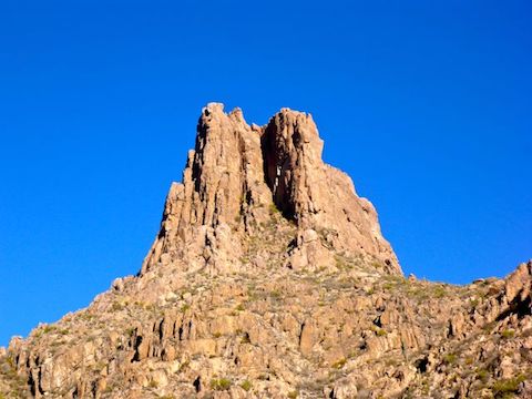
Peralta Road is in great shape, much better than the last time I hiked out of Peralta Trailhead, when I hiked to Fremont Saddle on my honeymoon in January, 2009. Ironically, the worst part is where the pavement transitions to dirt. Watch out for cattle: Arizona is an open range state and the Quarter Circle U Ranch is still active.
Even at 8:15 a.m., with deep winter shadows remaining within the canyons, the Peralta Trailhead was filling up. By the time I finished my hike at 2:00 p.m., it was full, as were all the overflow lots. Like a remote Camelback Mountain. 🙄
The newly risen sun was turning the Dacite Cliffs a brilliant orange as I set out on Dutchman’s Trail #104.
The Miners Needle Loop, follows Dutchman’s Trail #104 east-northeast for 2.7 miles, skirting the low desert of Barkley Basin, to the intersection with Coffee Flat Trail #108, at the bottom of Miners Needle. There’s very little gain as Trail #104 crosses lower Barks Canyon and Miners Canyon.
After Trail #108, follow Dutchman’s Trail #104 up the switchbacks on the east slope of Miners Canyon to Miners Summit, the pass on the north slope of Miners Needle. It’s a 700 ft. climb in 1.5 miles. A good blow, but not overly steep. There’s good shade where Trail #104 crosses Miners Canyon. There are good shade & sitting rocks throughout Miners Needle Loop, regardless of time of day, due to the canyons and many awesome rock formations.
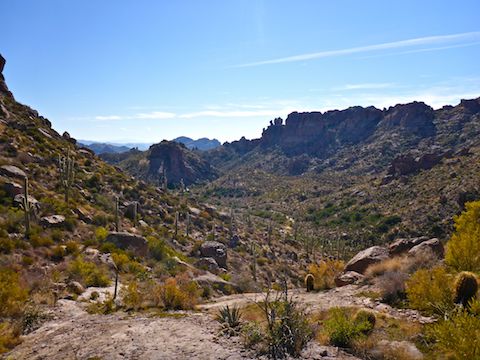
I took a break at Miners Needle Summit, where Dutchman’s Trail #104 intersects with Whiskey Trail #238 (which heads down into LaBarge Canyon). I had seen someone coming up behind me, so I figured I’d wait for him to pass. I heard The Youngbloods singing “Get Together” before I saw him. Yes, it was Loud Stereo Guy.
At least it was a decent song, not fucking Miley Cyrus. 💩
So, I waited a bit longer, until I could no longer hear Loud Stereo Guy, before continuing.
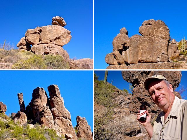
North of Miners Summit, down to Crystal Spring, then west up Bluff Spring Canyon, was my favorite part of the hike. More like grassland than desert, even with trees where there was no water source. And, of course, with lots of awesome rock formations.
At Crystal Spring, Dutchman’s Trail #104 continues north. Instead, turn west on Bluff Spring Trail #235. (The source of Bluff Spring is a quarter mile further along Trail #104.)
Bluff Spring Trail #235 winds back and forth across the dry wash, which is alternately rocky and slick rock. As I rounded Bluff Spring Mountain, Weavers Needle hove into view. I’ve seen Weavers Needle from as far as 46 miles away, when I was hiking from the Bronco Trailhead to Cave Creek. There’s a lot of needles in the Superstitions haystack.
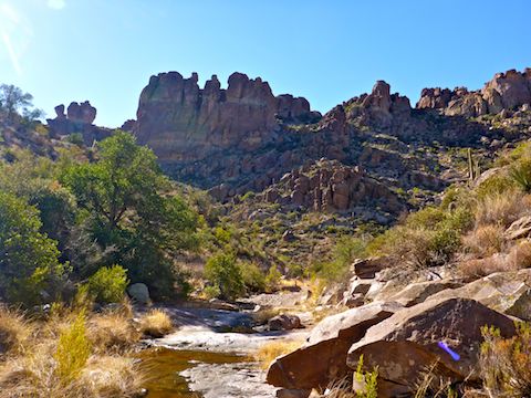
There was pooling water where Bluff Spring Trail #235 intersects with Terrapin Trail #234, which heads north across Bluff Saddle and Terrapin Pass to Black Top Mesa, next to Palomino Mountain. Probably from the rain two nights ago. In many places throughout the loop, I saw muddy footprints. (Some critters, mostly human.) I turned south, staying on Trail #235, into upper Barks Canyon.
Other than exercise, my main goal was to find the “Peralta Boulder” in Barks Canyon. I knew the location — an area of slick rock, near the intersection of a small side canyon — but could not find it despite 30 minutes of searching. At least it was a great area to take a break, again with excellent sitting rocks and shade, despite the mid-day sun.
There is one more small climb out of Barks Canyon, then Bluff Spring Trail #235 is level for a half mile, before dropping down a steep, rocky, trail back to Peralta Trailhead.
While I signing myself out of the back country — there’s a log in case Search & Rescue needs to save your ass — a couple of folks asked me if I knew where Wind Cave is. I told them it was 20 miles away in Usery Mountain Regional Park. Oops. I told them but as long as they were here, they might as well hike up to Fremont Saddle, overlooking Weavers Needle, as that would be a good hike as well.
Directions: Head east on the Superstition Freeway (US-60), until it turns into divided highway. In Gold Canyon, turn left at the fourth stop light, onto Peralta Rd. Follow it all the way to the end: One mile paved; six of smooth dirt.
GPS File: Miners_Needle_Loop
Distance: 9.98 mi.
AEG: 1,550 ft.
Time: 4h 15m
Hike Video
Hiking Miners Needle Loop, Superstition Mountains from Preston McMurry on Vimeo.
