

Ludden Mountain is a free-standing, double-peaked, formation in far northwest Phoenix. Part of the Deem Hills, Ludden Mountain was named for area rancher Homer Charles Ludden (1880-1958), who founded the city of Surprise in 1938.
Ludden Mountain has no trailhead, or even street parking. The best option is the Walmart / Walgreen’s shopping center on the northeast corner of Deer Valley Rd. and 67th Ave.
The shortest route to Ludden Mountain’s higher southern summit, is to walk a half mile east on Deer Valley Rd., then head up the southwest spur. Unfortunately, Deer Valley Rd. is chainlink fenced for a mile. In an suburban environment, climbing a fence would be sus. 🦹🏻♂️
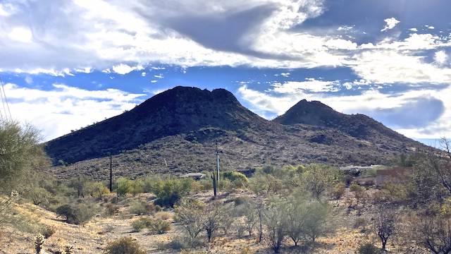
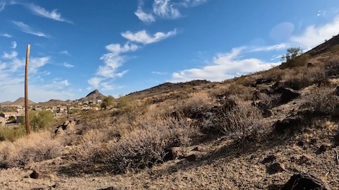
So, the better option is to walk north along 67th Ave., then Pyramid Peak Pkwy., for 1¼ miles. Just east of 64th Ave., turn south across Weir Wash. Angle towards the spur on Ludden Mountain’s northeast slope. (The false summit’s north and northwest approaches are vertical.)
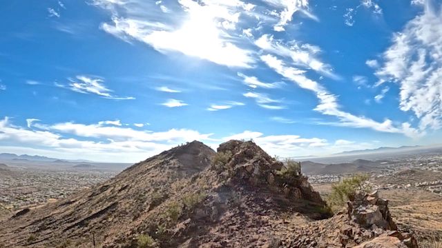
Per Mountain Matt, follow the spur up a boulder field to Ludden Mountain’s lower northern / false summit. Descend south off that, cross the cholla field saddle, then ascend to the true summit. The first climb is 600 ft. in ½ mile (23%), the descent 220 ft. in ⅒ mile (42%), and the second climb 350 ft. in ¼ mile (27%).
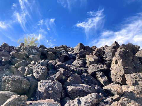
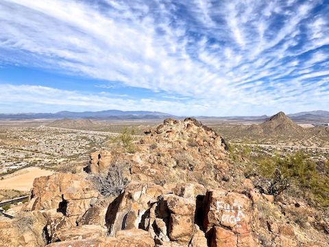
Unseen in the photo above, is a tricky little traverse I would have had to make to get over to the second false summit. A slip would have been less than ideal. I thought it a bit much for my fat old ass. Thin, young, agile folks will probably be okay. Also, the heat was rising quicker than I expected. (It was already 81℉.) So, I decided to bail. I’ll climb the true summit next year, probably using the alternate down route in the GPS file attached below.
Directions: From Loop 101, I took exit 18 north onto 67th Ave. In 3.0 miles, after crossing Deer Valley Rd., turn right into the Walmart / Walgreen’s parking lot. Alternately, from I-17, take exit 218 west onto Deer Valley Rd. In 5.0 miles, at 67th Ave., turn right into the Walmart / Walgreen’s parking lot.
GPS File: Ludden_Mountain
Distance: 3.67 mi.
AEG: 658 ft.
Time: 1h 46m
Rumble Video
Vimeo Video
Hiking Ludden Mountain, Phoenix from Preston McMurry on Vimeo.