My normal hike day is Friday, but it is supposed to rain all day Friday. And Thursday. And Saturday. It took me two days to recover from hiking Quien Sabe Peak, my muscles were so over-worked. Then other things popped up Monday and Tuesday, and I got lazy, rather than forcing myself out the door to do North Mountain, or simply walk to the post office.
So, rather than my planned hike up Hill 3595, just south of Telegraph Canyon, near Superior, I had to come up with something bit less climby & scrambly. This seemed to fit the bill, and it would allow my loving wife to wait for me in the relative luxury of the marina, while I hiked.
My normal liquid load is 3-4 liters of water and a liter of G2 (the less sugary Gatorade). Because the temps were cool, and I anticipated a short hike, I carried only 2.5 liters of water, replacing one of my half liter bottles with beer. Thankfully, I carried the liter of G-2. The duration, and physicality, meant I drank more than anticipated and, to make matters worse, I lost a water bottle while descending to the AT-6 crash site wash. I wasn’t in danger, but I was running low, and had to watch how fast I drank.
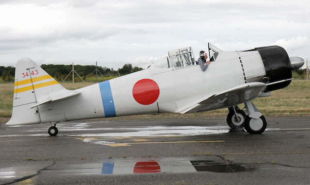
The T-6 “Texan”, designated the AT-6 by the United States Army Air Force, and the SNJ by the U.S. Navy, was a single-engine advanced trainer that first flew in 1935, and saw its last operational use (by South Africa) in 1995. Now, it is a popular recreational plane, and it is in that role I saw several of them flying over Eagle Eye Mountain, while exploring some arches with Pam, the organizer of our New Years Day hikes.
The role eighteen AT-6s were performing on August 19, 1944, were as Japanese Mitsubishi A6M Zeros, complete with rising sun paint scheme. The AT-6s were not OPFOR for the flight of B-25 Mitchells they attacked, but were instead stunt planes in a Hollywood movie, “God Is My Co-Pilot”, the true story of a “Flying Tiger”, Col. Robert Lee Scott Jr. During filming that day, as the “Zeros” dove on the B-25s, the AT-6 piloted by 2LT Orland Luhr collided with a B-25. Both crashed, with no survivors. (The B-25 was crewed by 1LT George Hunter, 2LT Patrick Holland and SGT James Ramey.)
I did a bit of reasearch, and none of my usual sources had anything more specific than the B-25 crashed “three miles north”. At the time, Lake Pleasant was 3,700 acres behind the Old Waddell Dam, which is now submerged beneath 10,000 acres of water. Perhaps the B-25 crash site has been covered by the expanded lake?
I had a lot more success today, than I did 16 months ago, looking for the C-47 wreck on Armer Mountain, that killed 28 people, including 19 cadets from West Point.
The hike to the AT-6 crash site begins about 250 yds. east of the intersection of Saddle Mountain Rd. and 87th Ave., just outside the Lake Pleasant Harbor Marina. It would be nice if you could drive a bit further up 87th Ave., but it is heavy gated, with access only by special permit. For having only special permit access, I sure saw “a lot” of vehicles on it today, about a half dozen.
I hiked north on a jeep trail to an unsigned, easily stepped across, barbwire fence. Adjacent to the fence was what looked on sat view like a field of crops. Up close, there were a number of PVC pipes sticking up out the ground, and what looked like pavement. Maybe an old campground?
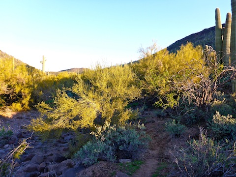
Just past that, I dropped into the wash, which I followed for another mile to a split. The wash is full of ankle breaker rocks, but so are the side slopes, so you might as well stay in the wash where you can pick up an occasional animal trail. In the wash, there are the usual catclaw, but also a surprising number of buckhorn cholla, some rather large. There were also christmas cholla and pencil cholla (which have wicked long spikes).
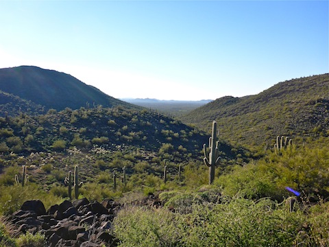
Opposite the northwest corner of Black Mountain, there are three washes up to the saddle. The first wash is the one most people take, and I also took that one up. However, I took the middle one back, and that seemed to go a bit smoother. I did not check out the third, eastern-most wash.
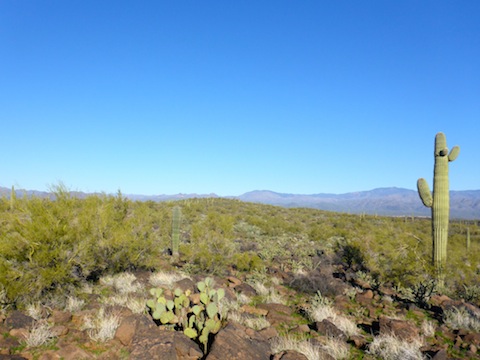
On the saddle, and across the spur to the Lake Pleasant OP, was also full of ankle breaker rocks, but also lots of fresh grass. The saddle also has a dense patch of teddy bear cholla. There are actually two spurs: Be sure to take the right hand one, otherwise when you descend to the AT-6 crash site, you will not find it. Travel across the spur is smooth, but you still need to watch your footing.
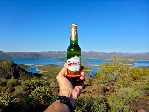
When I reached the Lake Pleasant OP, I took a break, enjoying a refreshing “Czechvar” beer — the original Budweis(er), not the swill brewed in St. Louis — while checking my twitter feed. I had 3-4 bar Verizon reception at the OP, 1 at the AT-6 crash site, and 2-3 at the saddle.
I now faced a choice, backtrack a half mile to the head of the AT-6 crash site wash, or go “over the edge”, and head straight down to the site.
I headed straight down. The slope is so steep — 400 ft. in only a quarter mile (equivalent to an extreme 1600 ft. in a mile) — that staying upright all the way down was simply unsafe. I admit to occasionally butt scootching. As it was, the slope is bouldery, and I knocked a number of rocks loose. Definitely only for strong & confident hikers.
The alternate access, at the head of the AT-6 crash site wash, which I took out, steep, bit much less so, but with even larger boulders, necessitating scrambling, and a fair amount of catclaw. If you are not set on a close examination of the AT-6 crash site, you could snap some telephoto shots from near the OP, then head back, having done a good day’s exercise.
The ditch you see up the north slope of the AT-6 crash site seems natural, not due to the plane(?), which vertically burned in. Because of its crash angle, the circle of AT-6 remains is relatively compact. I’m not a pilot, and I only have rudimentary mechanical knowledge, so I do not know what all the parts were, but I was surprised at how light the fuselage remains were: I could lift them with one hand easier than I could lift the alternator (?) I found. A number of parts, including the fairly intact engine, have melted aluminum, fused with rocks into a metallic cement. I saw some bones, but they had to be from animals, as 1LT Luhr’s remains were removed soon after the crash. I found a buckle, some control cables, and even a peddle, but no dials or instruments. See the video, below, for more details. ![]()
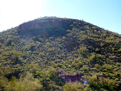
I returned by hiking to the head of the AT-6 crash site wash. Then I started towards the third wash (which I mentioned earlier), but decided it might be a bit steeper than I thought, opting for the middle wash down. I got nailed in the calf by buckhorn cholla. Had to use a comb to remove the bud.
Once back in the main wash, despite being very tired, I tried to make as much time as possible, while also minding my footing on the ankle breakers. It was because I was looking down that I walked straight into another buckhorn cholla. That sucked. I still got little cactus hairs in my leg, dragging on my sweatpants.
After that, I followed what animal trails, and later jeep trails, I found, and so ended up a bit east of where I started, necessitating some backtracking to the trailhead. I had been looking forward all day to ice cold beer at the Lake Pleasant Marina, but they were closing a few minutes after I returned. ![]()
What I had thought would be a quick three hour tour (plus one hour of exploring) had instead lasted all day due to the physically and mentally demanding nature of the hike. It’s not overlong, or even with a great deal of AEG, but neither is it to be taken lightly. At all.
Park Map: Lake_Pleasant_Regional_Park_Map
GPS File: Lake_Pleasant_AT6_Crash_Site (includes my intended route & actual track)
Distance: 8.73 mi.
AEG: 1,260 ft.
Time: 4h 53m
AT-6 Crash Site Video
Lake Pleasant AT-6 Plane Crash Site from Preston McMurry on Vimeo.

That’s both crazy and cool that parts are still there.
I think it is due to its remoteness, but also age. They didn’t do accident reconstruction back in those days, like they do now. (At least, that I am aware of.)