I hadn’t put my shoes on dirt in three weeks, and hadn’t done a decent hike since Coachwhip Trail and Arrowhead Point Trail in Thunderbird Conservation Park four weeks ago. It’s not like I’ve been lazy: I rode my bike three times a week and, over Thanksgiving, hit the hotel gym. (It was high teens in Kansas City, so no way I was braving the outdoors in Burr Oak Woods!)
Most folks would either fight morning rush hour, and hike in the cold, or hike in moderate mid-day temp and fight afternoon rush hour. Or just hike closer to home. Phoenix traffic being what it is, I chose to leave home in Sunnyslope even earlier, at 6:00 a.m. Since it doesn’t get light until after 7:00 a.m., I stopped for breakfast at the Waffle House across from Mesa’s Falcon Field.
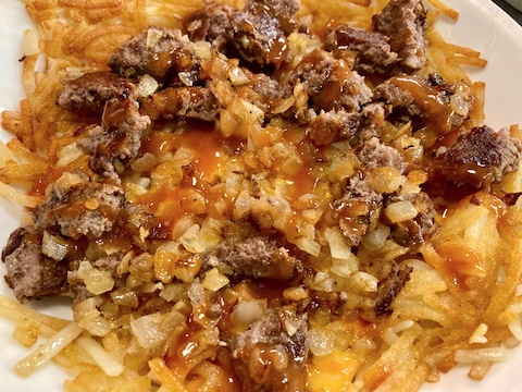
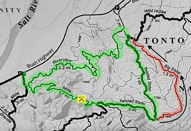
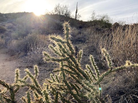
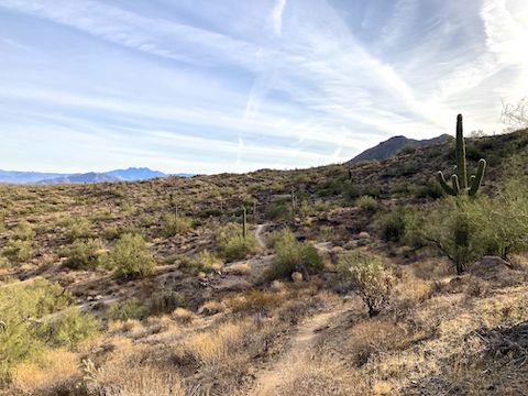
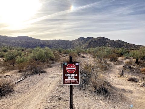
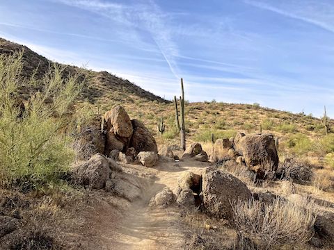
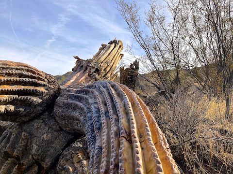
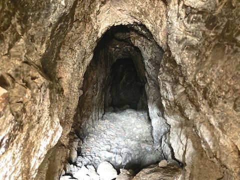
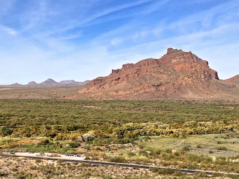
Waffle House cheeseburger bowl is peak hiking food. After breakfast, I drove to the Maricopa-Hawes Trailhead on Bush Highway.I hiked the green Saguaro Trail #50 – Riverview – Twisted Sister – Mine Trail loop clockwise. I’m too busy writing Christmas cards for a full blog, but then this is a pretty straightforward locals hike. 🎄🎅🏻Though it was light enough to hike, it was only 37°, so I waited for the sun to peak over the hills. I headed out around 8:30.Riverview Trail is is rated black diamond for mountain bikes, but hiking is no problem. Not high enough for actual river views though. 😏The bottom of Big Sister Trail, which is downhill only. I doubled back 150 yds. to the bottom of Twisted Sister Trail, which is two-way.Not many boulders on Twisted Sister Trail. Being mid-winter, I saw no desert flowers at all.Nor many saguaro. Farewell, Old Soldier. 🫡On Mine Trail, which is the mile of Saguaro Trail #50 between Twisted Sister and Riverview. The adit was barred ten feet in. Not like my old mine exploring days!The best view of Red Mountain and the Salt River is about half way down steep & slippery Mine Trail.
Maricopa-Hawes Trailhead: From Phoenix, take the Red Mountain Freeway (Loop 202) east. Take exit 23A east to Power Rd. Turn left. In 3 miles, a quarter mile past MP 22, park in the lot on the left.

