

I had noticed this mountain while researching my Mormon Battalion Trail hike, and just coincidentally at the same time mazatzal did it. He didn’t post a route, so I came up with an idea of my own: Travel up a wash / spur from the southwest to a knob, traverse northwest to the summit, return to the knob, then descend southeast to what is likely mazatzal’s wash, follow the wash out to BLM 8002, then back to AZ-238.
The attached GPS route (below), contains both my planned route and my actual track.
On the drive out, I was psyching myself out, thinking all kinds of bad thoughts about going it alone. But once we arrived at Shawmut, and I looked up at the mountain, the peak highlighted by the rising sun, I thought, “That doesn’t look so bad.” 😁
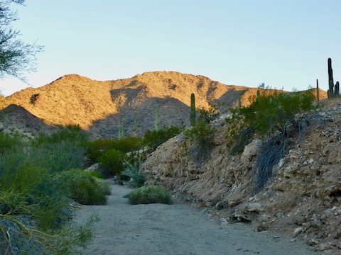
I started across the bumps — is there a word for those? — separating the small washes, generally heading northeast, before dropping into the main wash. At 1.5 miles, I started up the spur. It was covered with boulders along the crest, so I side-sloped most of the way. Footing was iffy, and there was lots of cholla. Yet I finished the day unstabbed — not counting catclaw, which is assumed. It was slow going. About half way up, I was treated to two trains going through the Shawmut esses at the same time. The final 20 vertical feet to the knob was steep, gravelly, and no hand holds. I used momentum to get up it.
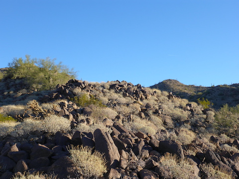
I took a break at the knob and re-assessed. I looked across the saddle to the next 300 foot climb, and it looked even steeper and slipperier. Side-sloping would moved me away from the peak, and going up it looked too iffy for my abilities, so after taking some pictures — great view — I bailed.
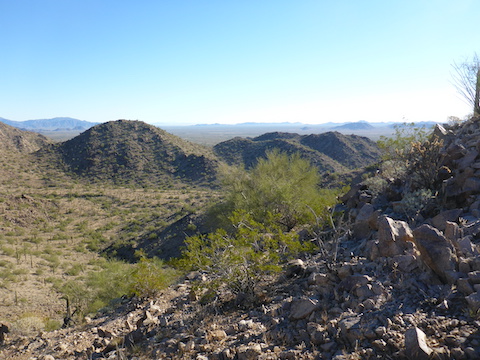
Going down to the east was considerably easier, less bouldery, and with zero cholla. The wash had one small ledge, but was otherwise sandy, with easily avoided rocks and brush. Some of the sand was packed, easy walking, the other half was deeper, mushy walking. I exitted the wash near the first rock pile, hoping to console myself with some petroglyphs. No luck there, or the other three piles — unless you count the petroglyph thoughtfully provided by the Boy Scouts of Cave Creek Troop 603, who managed to simultaneously violate the Scout Oath, the Scout Laws, and the Outdoor Code. 
I started walking back to AZ-238 beside BLM 8002. Walking on the road was actually slower going then cutting across the flats, so I did the last several miles cross country.
BLM 8002 is still closed to vehicle traffic. If / when they re-open it, it is drivable by a 2WD SUV; a car would be ill-advised.
Note: As of 2025-12-31, BLM 8002 is open, and graded with gravel with car-drivable gravel for 2½ miles.
GPS File: Estrella_BM_2766
Distance: 7.32 miles
AEG: 985 ft.