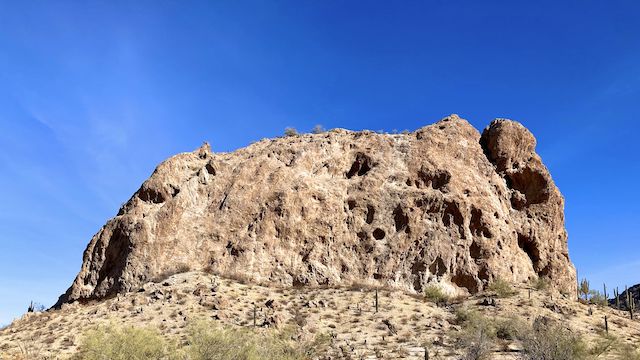
If you drive to the Elephant Rock “trailhead” via Sun Valley Parkway, as you pass through the retirement community, look south. Through a gap in the foothills: That free-standing butte is Elephant Rock. (It’s not visible from the trailhead / gate.)
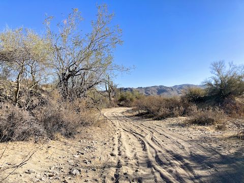
How far you hike to Elephant Rock is up to you. There are two unnumbered jeep trails: The northern one is car-drivable for 2.9 miles to a triangle intersection. The southern one is SUV-able for 2.4 miles to a loop end. Proceeding past either point would require 4wd for deep, sandy, washes. Hiking either route is mild, with a slight climb as you head east towards the White Tank Mountains.
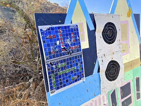
Both routes have multiple informal gun ranges. The southern route’s ranges are pointed away from the jeep trail, with good backstops. The northern route, not necessarily so, especially at the dry tank. If you are not comfortable with nearby gunfire, you should avoid this hike, or take a longer ATV route in. Within a 1-mile radius of Elephant Rock, it was peaceful.
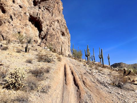
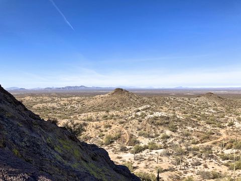
Elephant Rock itself resembles White Rock 3012 above Telegraph Canyon: Smaller in circumference, but taller walls. Sheer walls — except on its north side. There is a 0.4-mile foot trail around Elephant Rock. The west approach is very steep — 30%? — and slippery; the east, much less so.
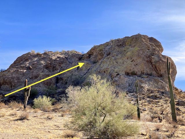
At the saddle between Elephant Rock and its much smaller twin, I found a faint use trail worn through the lichen on the rock, leading up a chute to the summit. (Marked Chute #1 on the GPS route.) It is a similar angle to Vulture Peak, but not quite as steep, or high, but also without obvious foot/hand holds. The rock is solid, not crumbly. If you fall, you are going to the bottom.
I could have made it to the summit, except there was about a five foot section I had to lift my foot up, which didn’t have a good toe hold. Slipping would have been non-productive, and I wear Oboz shoes — which don’t grip nearly as well as my old Five Tens. And I didn’t have my PLB with me. I’d go back with a spotter / hike buddy.
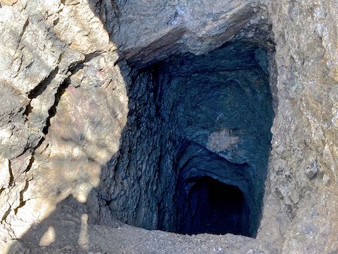
On my way back, I checked out some prospects and mine shafts. No interesting rocks and even the level adit turned near vertical just inside the entrance. A couple of mountain bikes passed by while I was checking that area out. I also saw a side-by-side OHV near Elephant Rock. So, other than shooting, not a lot of people on the west side of the White Tank Mountains.
Elephant Rock Trailhead: From the 303, head west on Bell Rd. / Sun Valley Parkway. The mile markers count down. In 19 miles, at the MM 116.1 crossover, turn left towards the gate. It’s closed, but not locked. Alternately, from I-10 and Sun Valley Parkway, drive north 11.8 miles to the same location. Park wherever.
GPS File: Elephant_Rock_White_Tank_Mountains
Distance: 9.88 mi.
AEG: 688 ft.
Time: 3h 35m
Rumble Video
Vimeo Video
Elephant Rock, White Tank Mountains from Preston McMurry on Vimeo.
